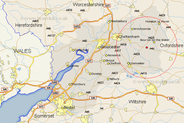
Gloucestershire Map Showing Location of Northleach
Population: 1411
Area Size (ha): 39
District: Cotswold
Easting: 412631 Northing: 215030
Latitude: 51.83 Longitude: -1.82
 = Northleach
Area Size (ha): 39
District: Cotswold
Easting: 412631 Northing: 215030
Latitude: 51.83 Longitude: -1.82
= Northleach
This Northleach map below is supplied by Google. Use the tools in the top left corner to zoom into street level or zoom out for a road map, you may also need to zoom in to see Northleach on the map. Click and drag the map to move around. If the map fails to load try and refresh your browser or zoom in or out (+ or -).
Update - it seems Google no longer allow people to use their maps for free! This Northleach map sometimes loads and sometimes gives a error. I am working on a solution.
Closest 30 Towns or Cities to Northleach (Population over 500)
Bourton-on-the-Water 5.89km Bourton on the Water 5.89km Chedworth 7.81km Withington 9.16km Bibury 9.26km Andoversford 9.88km Stow-on-the-Wold 12.5km Stow on the Wold 12.5km North Cerney 12.7km Quenington 13.17km Bledington 13.76km Fairford 15km Ampney St. Peter 15.52km Ampney Saint Peter 15.52km Ampney St Peter 15.52km Ampney 15.52km Winchcombe 15.88km Winchcomb 15.88km Cirencester 15.97km Cicester 15.97km Lechlade 16.86km Charlton Kings 17.57km Moreton-in-Marsh 18.5km Moreton in the Marsh 18.5km Moreton in Marsh 18.5km Leckhampton 18.69km Kempsford 18.84km Siddington 19.04km Southam 19.5km Cheltenham 19.75km