Warwickshire Map Showing Location of Northfield
District: Birmingham
Easting: 402266 Northing: 279898
Latitude: 52.42 Longitude: -1.97
 = Northfield
Easting: 402266 Northing: 279898
Latitude: 52.42 Longitude: -1.97
= Northfield
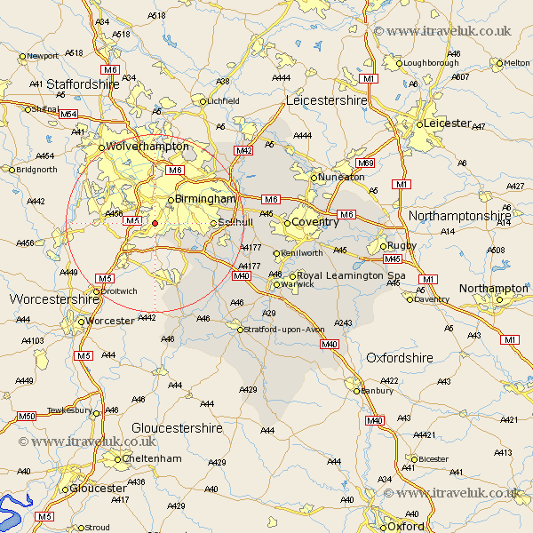
This Northfield map below is supplied by Google. Use the tools in the top left corner to zoom into street level or zoom out for a road map, you may also need to zoom in to see Northfield on the map. Click and drag the map to move around. If the map fails to load try and refresh your browser or zoom in or out (+ or -).
Update - it seems Google no longer allow people to use their maps for free! This Northfield map sometimes loads and sometimes gives a error. I am working on a solution.
Closest 30 Towns or Cities to Northfield (Population over 500)
Birmingham 6.51km Solihull 12.43km Castle Bromwich 15.5km Knowle 16.26km Ullenhall 16.5km Bickenhill 17.35km Lapworth 17.39km Studley 17.61km Hampton in Arden 18.09km Water Orton 18.32km Sutton Coldfield 19.53km Temple Balsall 20.01km Henley in Arden 20.11km Coleshill 20.3km Rowington 21.25km Berkswell 22.69km Berkeswell 22.69km Wootton Wawen 22.98km Alcester 23.25km Aston Cantlow 23.33km Meriden 23.8km Shrewley 24.15km Kingsbury 24.25km Middleton 24.34km Shustoke 24.41km Great Alne 24.47km Claverdon 24.62km Nether Whitacre 25.06km Hatton 25.12km Snitterfield 25.83km