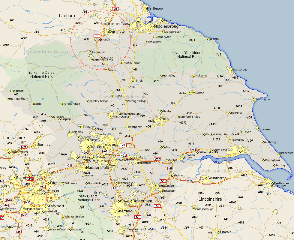
Yorkshire Map Showing Location of Newton Morrell
District: Richmondshire
Easting: 423753 Northing: 509849
Latitude: 54.48 Longitude: -1.63
 = Newton Morrell
Easting: 423753 Northing: 509849
Latitude: 54.48 Longitude: -1.63
= Newton Morrell
This Newton Morrell map below is supplied by Google. Use the tools in the top left corner to zoom into street level or zoom out for a road map, you may also need to zoom in to see Newton Morrell on the map. Click and drag the map to move around. If the map fails to load try and refresh your browser or zoom in or out (+ or -).
Update - it seems Google no longer allow people to use their maps for free! This Newton Morrell map sometimes loads and sometimes gives a error. I am working on a solution.
Closest 30 Towns or Cities to Newton Morrell (Population over 500)
Barton 2.14km Melsonby 3.23km Middleton Tyas 3.86km Gilling 7.74km East Cowton 9.83km Cowton 9.83km North Cowton 10.72km Richmond 11.3km Scorton 11.33km Catterick 12.97km Brompton 20.4km Crakehall 20.41km Northallerton 21.11km Bedale 22.47km Leyburn 23.59km Middleton 23.76km Middleton upon Leven 23.76km Osmotherley 25.16km Middleham 25.21km Whorlton 25.87km Seamer 26.98km Stokesley 28.06km Masham 29.66km Great Broughton 30.38km West Tanfield 31.8km Tanfield 31.8km Great Ayton 32.35km Middlebrough 32.54km Middlesbrough 32.54km Middlesborough 32.54km