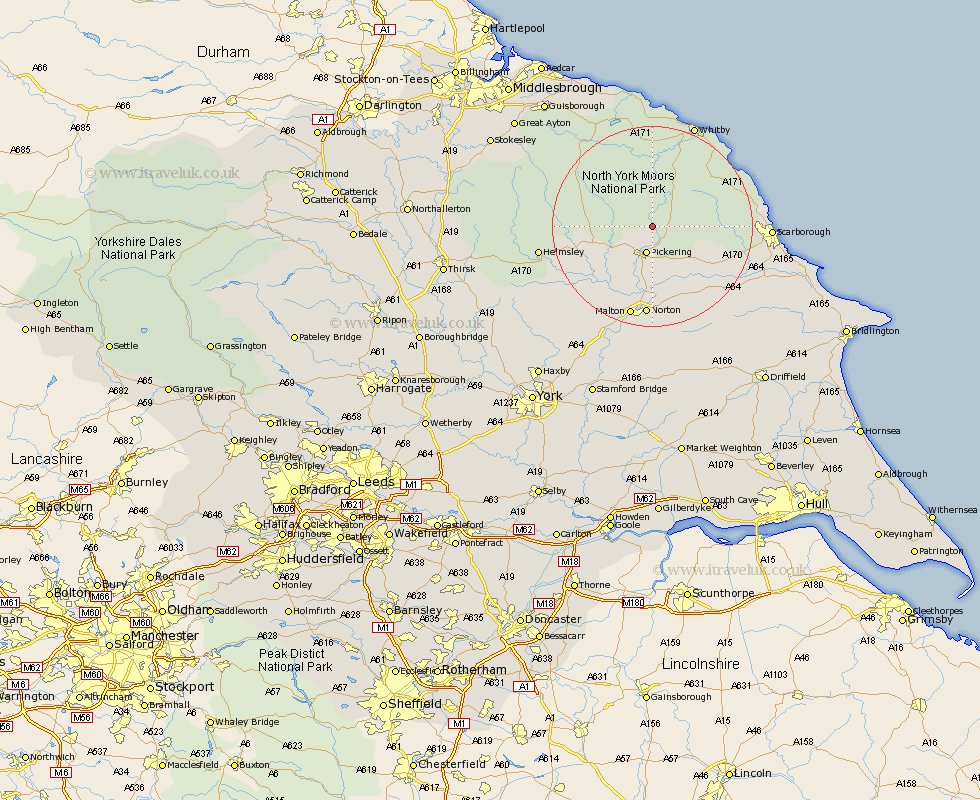
Yorkshire Map Showing Location of Newton
Population: 146
District: Ryedale
Easting: 481336 Northing: 490114
Latitude: 54.3 Longitude: -0.75
 = Newton
District: Ryedale
Easting: 481336 Northing: 490114
Latitude: 54.3 Longitude: -0.75
= Newton
This Newton map below is supplied by Google. Use the tools in the top left corner to zoom into street level or zoom out for a road map, you may also need to zoom in to see Newton on the map. Click and drag the map to move around. If the map fails to load try and refresh your browser or zoom in or out (+ or -).
Update - it seems Google no longer allow people to use their maps for free! This Newton map sometimes loads and sometimes gives a error. I am working on a solution.
Closest 30 Towns or Cities to Newton (Population over 500)
Pickering 5.66km Thornton-le-Dale 7.73km Thornton Dale 7.73km Kirkby Moorside 12.46km Kirby Moorside 12.46km Yedingham 14.1km Snainton 14.25km Brompton 15.96km Nawton 16.87km Rillington 16.99km Sleights 17.53km Norton 18.19km Malton 18.94km Fylingdales 19.12km Slingsby 19.89km Hawsker 20.47km Burniston 20.63km Scalby 20.64km Cloughton 20.87km Sherburn 21.21km Helmsley 21.3km Scarborough 21.84km Seamer 21.86km Whitby 22.15km Willerby 23.42km Eastfield 23.91km Terrington 24.78km Hinderwell 25.96km Cayton 25.97km Ampleforth 26.29km