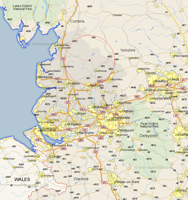
Lancashire Map Showing Location of Newton
Population: 237
District: Ribble Valley
Easting: 369376 Northing: 450556
Latitude: 53.95 Longitude: -2.47
 = Newton
District: Ribble Valley
Easting: 369376 Northing: 450556
Latitude: 53.95 Longitude: -2.47
= Newton
This Newton map below is supplied by Google. Use the tools in the top left corner to zoom into street level or zoom out for a road map, you may also need to zoom in to see Newton on the map. Click and drag the map to move around. If the map fails to load try and refresh your browser or zoom in or out (+ or -).
Update - it seems Google no longer allow people to use their maps for free! This Newton map sometimes loads and sometimes gives a error. I am working on a solution.
Closest 30 Towns or Cities to Newton (Population over 500)
Waddington 8.11km Grindleton 8.59km Clitheroe 10.24km Chipping 10.65km Chatburn 10.65km Gisburn 13.22km Longridge 15.06km Whalley 15.18km Langho 16.72km Sabden 17.21km Ribchester 17.24km Wilpshire 18.57km Claughton 18.81km Claughton on Brock 18.81km Claughton-on-Brock 18.81km Great Harwood 18.82km Barnoldswick 18.91km Goosnargh 19.79km Barrowford 19.8km Grimsargh 19.94km Simonstone 20.05km Garstang 20.41km Salterforth 20.41km Altham 20.49km Forton 20.72km Mellor 20.85km Caton 20.86km Hapton 20.98km Padiham 20.98km Clayton le Moors 21.1km