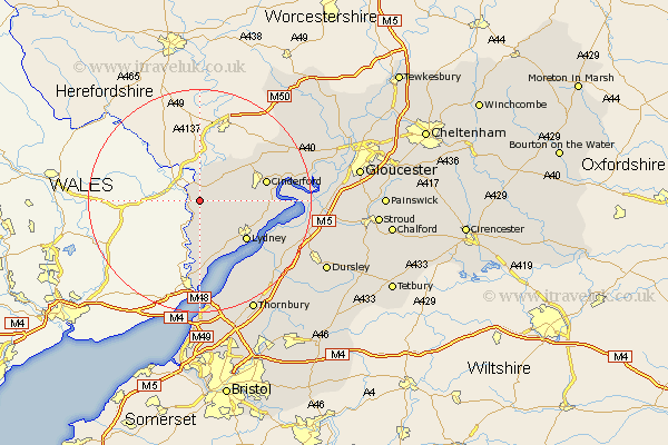
Gloucestershire Map Showing Location of Newland
Population: 1027
District: Forest of Dean
Easting: 355166 Northing: 209654
Latitude: 51.78 Longitude: -2.65
 = Newland
District: Forest of Dean
Easting: 355166 Northing: 209654
Latitude: 51.78 Longitude: -2.65
= Newland
This Newland map below is supplied by Google. Use the tools in the top left corner to zoom into street level or zoom out for a road map, you may also need to zoom in to see Newland on the map. Click and drag the map to move around. If the map fails to load try and refresh your browser or zoom in or out (+ or -).
Update - it seems Google no longer allow people to use their maps for free! This Newland map sometimes loads and sometimes gives a error. I am working on a solution.
Closest 30 Towns or Cities to Newland (Population over 500)
Staunton 3.71km Coleford 3.91km Saint Briavels 6.02km St Briavels 6.02km St. Briavels 6.02km Bream 6.83km Lydbrook 8.72km Woolaston 9.88km Lydney 10.92km Cinderford 12.05km Drybrook 12.7km Milcheldean 14.74km Mitcheldean 14.74km Tidenham 14.82km Newnham 15.02km Newham 15.02km Awre 15.02km Longhope 16.58km Berkeley 17.7km Stone 19.47km Huntley 19.52km Frampton on Severn 19.58km Frampton-on-Severn 19.58km Frampton 19.58km Slimbridge 19.79km Aust 20.51km Falfield 21.63km Alveston 21.91km Thornbury 22.36km North Nibley 22.48km