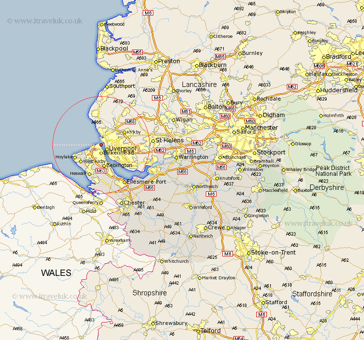
Cheshire Map Showing Location of New Brighton
District: Wirral
Easting: 331356 Northing: 393472
Latitude: 53.43 Longitude: -3.03
 = New Brighton
Easting: 331356 Northing: 393472
Latitude: 53.43 Longitude: -3.03
= New Brighton
This New Brighton map below is supplied by Google. Use the tools in the top left corner to zoom into street level or zoom out for a road map, you may also need to zoom in to see New Brighton on the map. Click and drag the map to move around. If the map fails to load try and refresh your browser or zoom in or out (+ or -).
Update - it seems Google no longer allow people to use their maps for free! This New Brighton map sometimes loads and sometimes gives a error. I am working on a solution.
Closest 30 Towns or Cities to New Brighton (Population over 500)
Wallasey 2.21km Birkenhead 3.7km Moreton 6.65km Bebington 9.33km Bebington and Bromborough 9.33km Greasby 9.78km Kirby 10.71km West Kirby 10.71km Hoylake 11.39km Heswall 13.7km Neston 16.72km Willaston 16.83km Ellesmere Port 18.88km Hale 19.06km Runcorn 21.83km Widnes 21.94km Mollington 23.55km Weston 23.75km Burtonwood 24.29km Saughall 24.71km Great Saughall 24.71km Frodsham 24.82km Elton 24.95km Dunham-on-the-Hill 25.6km Dunham on the Hill 25.6km Dunham 25.6km Helsby 25.62km Halton 25.63km Chester 27.07km Mickle Trafford 28.06km