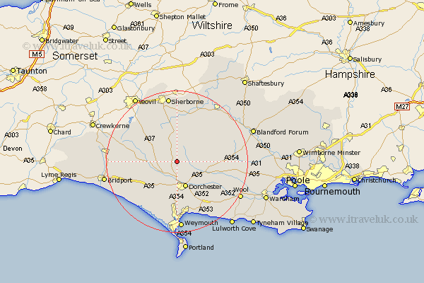
Dorset Map Showing Location of Nether Cerne
Population: 27
District: West Dorset
Easting: 367104 Northing: 98358
Latitude: 50.78 Longitude: -2.47
 = Nether Cerne
District: West Dorset
Easting: 367104 Northing: 98358
Latitude: 50.78 Longitude: -2.47
= Nether Cerne
This Nether Cerne map below is supplied by Google. Use the tools in the top left corner to zoom into street level or zoom out for a road map, you may also need to zoom in to see Nether Cerne on the map. Click and drag the map to move around. If the map fails to load try and refresh your browser or zoom in or out (+ or -).
Update - it seems Google no longer allow people to use their maps for free! This Nether Cerne map sometimes loads and sometimes gives a error. I am working on a solution.
Closest 30 Towns or Cities to Nether Cerne (Population over 500)
Cerne Abbas 1.86km Puddletrenthide 3.52km Piddletrenthide 3.52km Buckland Newton 5.68km Charminster 5.68km Maiden Newton 7.27km Dorchester 7.77km Puddletown 9km Piddletown 9km Leigh 10.97km Broadmayne 12.57km Milton Abbas 13.02km Milborne Saint Andrew 13.02km Milborne St Andrew 13.02km Milborne St. Andrew 13.02km Milborne 13.02km Portisham 14.75km Portesham 14.75km Yetminster 14.75km Bincombe 14.87km Preston 15.23km Abbotsbury 16.01km Whitechurch 16.51km Overcombe 16.55km Upton 16.81km Bradford Abbas 16.94km Winterborne Stickland 17.31km Stickland Winterborne 17.31km Bovington Camp 17.84km Bere Regis 17.97km