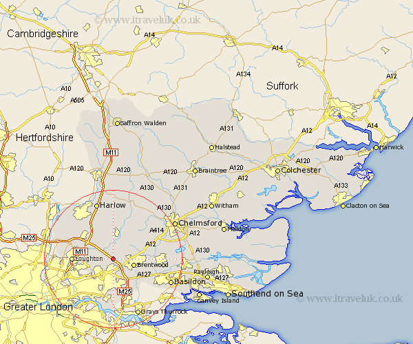
Essex Map Showing Location of Navestock
Population: 580
District: Brentwood
Easting: 554545 Northing: 195135
Latitude: 51.63 Longitude: 0.23
 = Navestock
District: Brentwood
Easting: 554545 Northing: 195135
Latitude: 51.63 Longitude: 0.23
= Navestock
This Navestock map below is supplied by Google. Use the tools in the top left corner to zoom into street level or zoom out for a road map, you may also need to zoom in to see Navestock on the map. Click and drag the map to move around. If the map fails to load try and refresh your browser or zoom in or out (+ or -).
Update - it seems Google no longer allow people to use their maps for free! This Navestock map sometimes loads and sometimes gives a error. I am working on a solution.
Closest 30 Towns or Cities to Navestock (Population over 500)
Stanford Rivers 3.89km Kelvedon Hatch 5.07km Brentwood 6.04km Chipping Ongar 7.5km High Ongar 7.76km Mountnessing 8.05km Ongar Station 8.73km North Weald 8.73km Ingrave 8.86km Herongate 9.03km North Weald Bassett 9.38km Theydon Bois 9.92km Chigwell 10.52km Epping 10.94km Ingatestone 10.99km Fyfield 11.35km Loughton 11.5km Billericay 12.79km Buckhurst Hill 13.8km Margaretting 13.81km Great Burstead 13.83km Stock 13.93km Ramsden Heath 15.07km South Ockendon 15.52km South Ockedon 15.52km Waltham Abbey 15.95km Nazeing 15.99km Roxwell 16.59km Writtle 16.62km Matching 16.72km