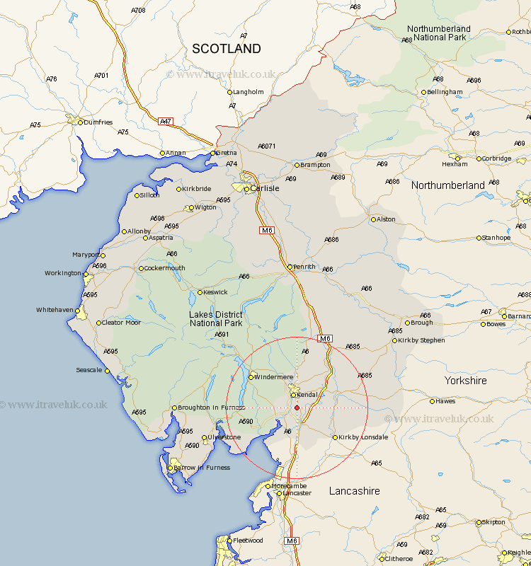
Cumbria Map Showing Location of Natland
Population: 747
District: South Lakeland
Easting: 352262 Northing: 487783
Latitude: 54.28 Longitude: -2.73
 = Natland
District: South Lakeland
Easting: 352262 Northing: 487783
Latitude: 54.28 Longitude: -2.73
= Natland
This Natland map below is supplied by Google. Use the tools in the top left corner to zoom into street level or zoom out for a road map, you may also need to zoom in to see Natland on the map. Click and drag the map to move around. If the map fails to load try and refresh your browser or zoom in or out (+ or -).
Update - it seems Google no longer allow people to use their maps for free! This Natland map sometimes loads and sometimes gives a error. I am working on a solution.
Closest 30 Towns or Cities to Natland (Population over 500)
Kendall 3.87km Kendal 3.87km Levens 4.92km Heversham 5.97km Milnthorpe 7.72km Beetham 9.51km Staveley 10.73km Holme 11.17km Arnside 12.88km Kirkby Londsdale 13.45km Kirkby Lonsdale 13.45km Millthrop 14.54km Sedbergh 14.54km Milnthorpe 14.54km Windermere 15.08km Tebay 17.74km Dent 18.49km Holker 18.81km Lower Holker 18.81km Haverthwaite 19.22km Hawkshead 19.62km Colton 20.64km Ambleside 21.18km Orton 23.07km Coniston 23.52km Conistan 23.52km Ravenstonedale 25.32km Ulverston 25.56km Ulverstone 25.56km Shap 26.31km