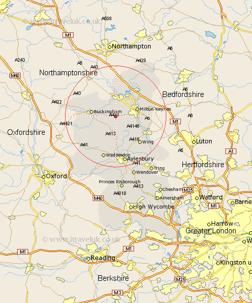
Buckinghamshire Map Showing Location of Nash
Population: 425
District: Aylesbury Vale
Easting: 478968 Northing: 232320
Latitude: 51.98 Longitude: -0.85
 = Nash
District: Aylesbury Vale
Easting: 478968 Northing: 232320
Latitude: 51.98 Longitude: -0.85
= Nash
This Nash map below is supplied by Google. Use the tools in the top left corner to zoom into street level or zoom out for a road map, you may also need to zoom in to see Nash on the map. Click and drag the map to move around. If the map fails to load try and refresh your browser or zoom in or out (+ or -).
Update - it seems Google no longer allow people to use their maps for free! This Nash map sometimes loads and sometimes gives a error. I am working on a solution.
Closest 30 Towns or Cities to Nash (Population over 500)
Great Horwood 2.17km Winslow 3.87km Thornborough 4.57km Shenley Church End 5.88km Shenley 5.88km Newton Longville 6km Shenley Brook End 6km Mursley 6.01km Padbury 7.09km Bradwell 7.19km Stony Stratford 7.42km Wolverton 7.76km Bletchley 7.99km Maids Moreton 8.2km Milton Keynes 8.75km Buckingham 9.32km Akeley 9.73km Stoke Hammond 9.86km Stewkley 10.09km Gawcott 10.44km Soulbury 10.69km Steeple Claydon 10.69km Claydon 10.69km Simpson 10.92km North Marston 11.18km Whitchurch 11.18km Whitechurch 11.18km Castlethorpe 11.18km Great Linford 11.52km Stowe 12km