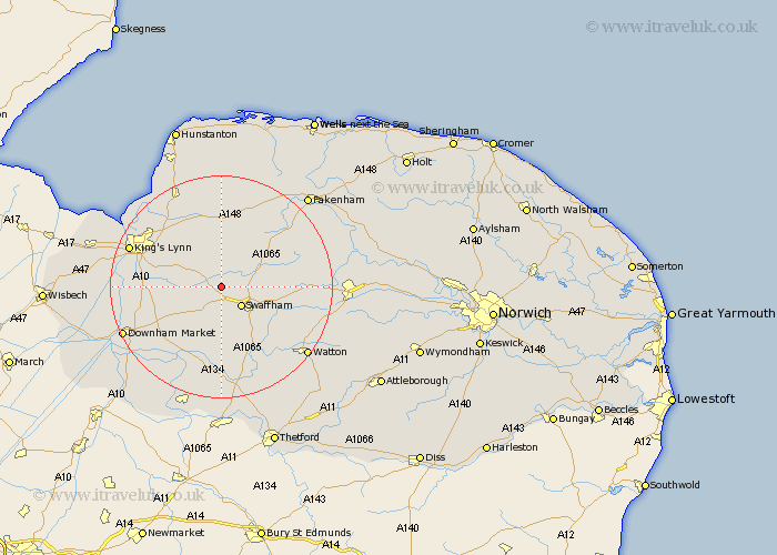
Norfolk Map Showing Location of Narford
Population: 41
District: Breckland
Easting: 576854 Northing: 312762
Latitude: 52.68 Longitude: 0.62
 = Narford
District: Breckland
Easting: 576854 Northing: 312762
Latitude: 52.68 Longitude: 0.62
= Narford
This Narford map below is supplied by Google. Use the tools in the top left corner to zoom into street level or zoom out for a road map, you may also need to zoom in to see Narford on the map. Click and drag the map to move around. If the map fails to load try and refresh your browser or zoom in or out (+ or -).
Update - it seems Google no longer allow people to use their maps for free! This Narford map sometimes loads and sometimes gives a error. I am working on a solution.
Closest 30 Towns or Cities to Narford (Population over 500)
Narborough 2.25km Castle Acre 4.86km Swaffham 5.01km Marham 5.82km Gayton 7.15km Palgrave 8.08km Great Palgrave 8.08km East Winch 9.63km Shouldham 9.72km Massingham 9.87km Great Massingham 9.87km Grimston 10.3km Middleton 10.77km Necton 11.83km North Runcton 12.49km Litcham 12.9km Wereham 14.3km Stoke Ferry 14.62km Northwold 14.86km Runcton Holme 15.07km Runcton 15.07km South Wootton 15.44km Ashill 15.45km Watlington 15.84km East Rudham 16.29km North Wootton 16.61km Mileham 16.67km Kings Lynn 17.38km Lynn Regis 17.38km Lynn 17.38km