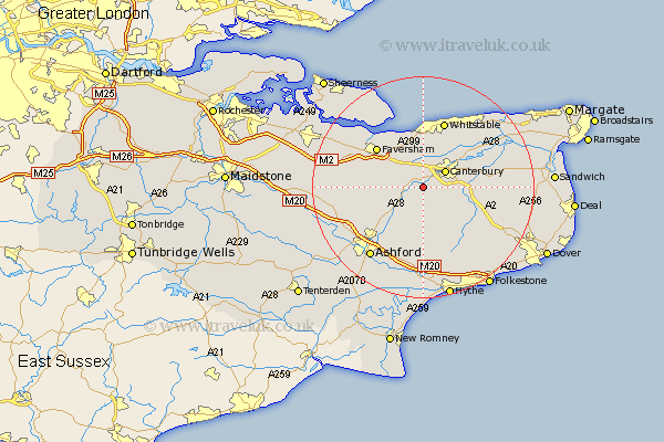
Kent Map Showing Location of Chartham
Population: 2505
Area Size (ha): 67
District: Canterbury
Easting: 610497 Northing: 154472
Latitude: 51.25 Longitude: 1.02
 = Chartham
Area Size (ha): 67
District: Canterbury
Easting: 610497 Northing: 154472
Latitude: 51.25 Longitude: 1.02
= Chartham
This Chartham map below is supplied by Google. Use the tools in the top left corner to zoom into street level or zoom out for a road map, you may also need to zoom in to see Chartham on the map. Click and drag the map to move around. If the map fails to load try and refresh your browser or zoom in or out (+ or -).
Update - it seems Google no longer allow people to use their maps for free! This Chartham map sometimes loads and sometimes gives a error. I am working on a solution.
Closest 30 Towns or Cities to Chartham (Population over 500)
Harbledown 3.88km Chilham 3.95km Lower Hardres 3.95km Dunkirk 4.37km Petham 4.37km Canterbury 4.94km Hackington 5.93km Blean 6.02km Selling 7.2km Bridge 7.2km Sturry 7.88km Stelling 8.19km Wye 9.42km Littlebourne 10.6km Faversham 10.99km Chestfield 11.65km Ospringe 11.82km Oare 11.87km Whitstable 12.64km Brabourne 13.03km Elham 13.12km Hoath 13.95km Wingham 14.04km Hinxhill 14.22km Kennington 14.49km Broomfield 14.6km Smeeth 15.23km Herne Bay 15.3km Lyminge 15.53km Chislet 15.76km