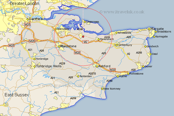
Kent Map Showing Location of Murston
District: Swale
Easting: 591546 Northing: 163002
Latitude: 51.33 Longitude: 0.75
 = Murston
Easting: 591546 Northing: 163002
Latitude: 51.33 Longitude: 0.75
= Murston
This Murston map below is supplied by Google. Use the tools in the top left corner to zoom into street level or zoom out for a road map, you may also need to zoom in to see Murston on the map. Click and drag the map to move around. If the map fails to load try and refresh your browser or zoom in or out (+ or -).
Update - it seems Google no longer allow people to use their maps for free! This Murston map sometimes loads and sometimes gives a error. I am working on a solution.
Closest 30 Towns or Cities to Murston (Population over 500)
Bapchild 2.18km Tunstall 2.96km Iwade 3.89km Borden 3.93km Bobbing 3.94km Linsted 4.37km Lynsted 4.37km Teynham 4.63km Bredgar 5.08km Newington 6.08km Lower Halstow 6.88km Stockbury 7.19km Doddington 7.49km Upchurch 7.88km Ospringe 8.91km Queenborough 9.35km Oare 9.45km Minster 10.36km Faversham 10.58km Eastchurch 10.98km Sheerness 11.18km Lenham 11.36km Hollingbourne 11.58km Harrietsham 12.05km Warden 12.78km Detling 12.85km Grain 13.18km Leysdown on Sea 13.74km Leysdown 13.74km Leysdown-on-Sea 13.74km