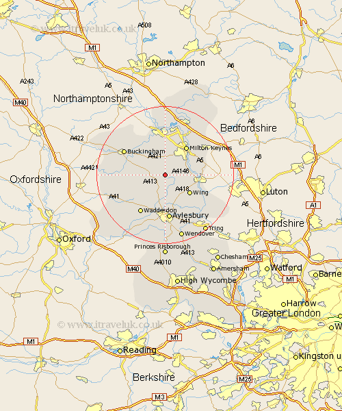
Buckinghamshire Map Showing Location of Mursley
Population: 602
District: Aylesbury Vale
Easting: 481347 Northing: 226797
Latitude: 51.93 Longitude: -0.82
 = Mursley
District: Aylesbury Vale
Easting: 481347 Northing: 226797
Latitude: 51.93 Longitude: -0.82
= Mursley
This Mursley map below is supplied by Google. Use the tools in the top left corner to zoom into street level or zoom out for a road map, you may also need to zoom in to see Mursley on the map. Click and drag the map to move around. If the map fails to load try and refresh your browser or zoom in or out (+ or -).
Update - it seems Google no longer allow people to use their maps for free! This Mursley map sometimes loads and sometimes gives a error. I am working on a solution.
Closest 30 Towns or Cities to Mursley (Population over 500)
Winslow 3.9km Stewkley 4.93km Great Horwood 5.05km Newton Longville 5.05km Whitchurch 5.68km Whitechurch 5.68km North Marston 6.53km Soulbury 6.86km Stoke Hammond 7.1km Bletchley 7.97km Shenley Brook End 8.17km Thornborough 8.82km Wing 8.83km Great Brickhill 9.33km Shenley 9.55km Shenley Church End 9.55km Padbury 9.86km Quainton 10.1km Milton Keynes 10.42km Bradwell 11.35km Steeple Claydon 11.43km Claydon 11.43km Bow Brickhill 11.69km Simpson 12.24km Maids Moreton 12.67km Wolverton 12.98km Aylesbury 13.02km Waddesdon 13.07km Gawcott 13.1km Stony Stratford 13.18km