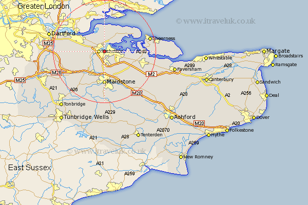
Kent Map Showing Location of Chatham
Population: 70162
Area Size (ha): 1593
Easting: 575105 Northing: 167977
Latitude: 51.38 Longitude: 0.52
 = Chatham
Area Size (ha): 1593
Easting: 575105 Northing: 167977
Latitude: 51.38 Longitude: 0.52
= Chatham
This Chatham map below is supplied by Google. Use the tools in the top left corner to zoom into street level or zoom out for a road map, you may also need to zoom in to see Chatham on the map. Click and drag the map to move around. If the map fails to load try and refresh your browser or zoom in or out (+ or -).
Update - it seems Google no longer allow people to use their maps for free! This Chatham map sometimes loads and sometimes gives a error. I am working on a solution.
Closest 30 Towns or Cities to Chatham (Population over 500)
Strood 1.16km Rochester 2.08km Gillingham 3.4km Hoo 3.93km Cuxton 5.93km High Halstow 6.02km Shorne 6.07km Higham 6.55km Wouldham 6.55km Burham 7.76km Cobham 8.1km Stoke 8.89km Snodland 9.4km Upchurch 9.44km Lower Halstow 10.57km Meopham 10.57km Newington 11.05km Boxley 11.36km Aylesford 11.36km Gravesend 11.8km Stockbury 11.86km Detling 12.05km Maidstone 12.97km Allhallows 13.09km Ryarsh 13.1km Bobbing 13.25km Bearsted 13.43km West Malling 13.76km Addington 13.76km Northfleet 13.88km