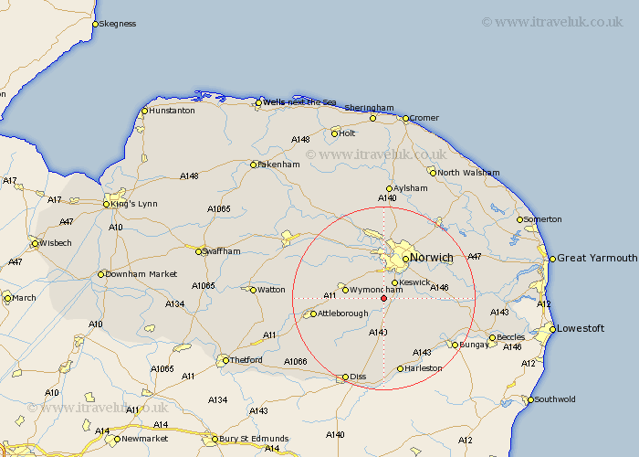
Norfolk Map Showing Location of Mulbarton
Population: 2762
Area Size (ha): 56
District: South Norfolk
Easting: 619187 Northing: 299635
Latitude: 52.55 Longitude: 1.23
 = Mulbarton
Area Size (ha): 56
District: South Norfolk
Easting: 619187 Northing: 299635
Latitude: 52.55 Longitude: 1.23
= Mulbarton
This Mulbarton map below is supplied by Google. Use the tools in the top left corner to zoom into street level or zoom out for a road map, you may also need to zoom in to see Mulbarton on the map. Click and drag the map to move around. If the map fails to load try and refresh your browser or zoom in or out (+ or -).
Update - it seems Google no longer allow people to use their maps for free! This Mulbarton map sometimes loads and sometimes gives a error. I am working on a solution.
Closest 30 Towns or Cities to Mulbarton (Population over 500)
Swardeston 2.17km Saxlingham Thorpe 2.92km Saxlingham 2.92km Ashwellthorpe 3.86km Stoke Holy Cross 4.51km Cringleford 5.67km Forncett Saint Mary 6km Forncett St. Mary 6km Forncett 6km Forncett St Mary 6km Hethersett 6.51km Hempnall 7.16km Long Stratton 7.42km Poringland 7.89km Wymondham 8.1km Hellesdon 9.33km Moulton Saint Michael 9.86km Moulton St. Michael 9.86km Great Moulton 9.86km Moulton St Michael 9.86km Moulton 9.86km Bunwell 10.04km Brooke 10.14km Norwich 10.3km Costessey 11.18km Thorpe St. Andrew 12.16km Thorpe next Norwich 12.16km Thorpe Episcopi 12.16km Thorpe St Andrew 12.16km Thorpe 12.16km