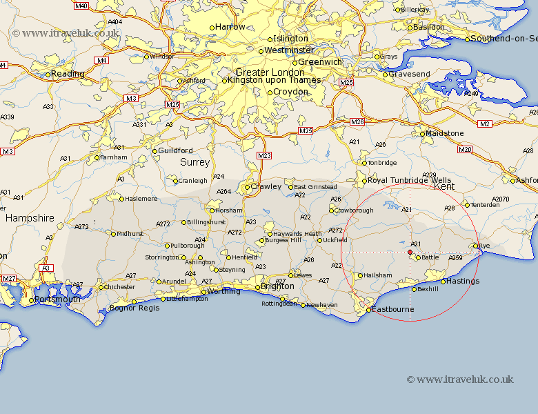
Sussex Map Showing Location of Mountfield
Population: 593
District: Rother
Easting: 573305 Northing: 117830
Latitude: 50.93 Longitude: 0.47
 = Mountfield
District: Rother
Easting: 573305 Northing: 117830
Latitude: 50.93 Longitude: 0.47
= Mountfield
This Mountfield map below is supplied by Google. Use the tools in the top left corner to zoom into street level or zoom out for a road map, you may also need to zoom in to see Mountfield on the map. Click and drag the map to move around. If the map fails to load try and refresh your browser or zoom in or out (+ or -).
Update - it seems Google no longer allow people to use their maps for free! This Mountfield map sometimes loads and sometimes gives a error. I am working on a solution.
Closest 30 Towns or Cities to Mountfield (Population over 500)
Battle 2.98km Sedlescombe 5.02km Robertsbridge 5.56km Catsfield 5.68km Hurst Green 7.42km Crowhurst 7.77km Etchingham 7.78km Westfield 7.93km Ninfield 8.19km Burwash 9.44km Brede 9.53km Northiam 10.87km Herstmonceux 10.88km Hurstmonceux 10.88km Hurstmonceaux 10.88km Ticehurst 11.66km Bexhill 11.77km Beckley 12.25km Warbleton 12.85km Fairlight 12.94km Guestling 12.94km Hastings 13.16km Heathfield 14.14km Icklesham 14.5km Pett 15.09km Horam 15.3km Horeham 15.3km Peasmarsh 15.63km Hailsham 15.86km Wadhurst 15.98km