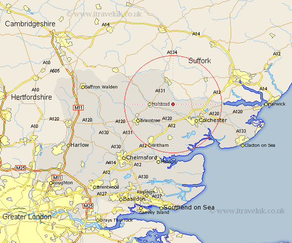
Essex Map Showing Location of Mount Bures
Population: 236
District: Colchester
Easting: 590108 Northing: 231608
Latitude: 51.95 Longitude: 0.77
 = Mount Bures
District: Colchester
Easting: 590108 Northing: 231608
Latitude: 51.95 Longitude: 0.77
= Mount Bures
This Mount Bures map below is supplied by Google. Use the tools in the top left corner to zoom into street level or zoom out for a road map, you may also need to zoom in to see Mount Bures on the map. Click and drag the map to move around. If the map fails to load try and refresh your browser or zoom in or out (+ or -).
Update - it seems Google no longer allow people to use their maps for free! This Mount Bures map sometimes loads and sometimes gives a error. I am working on a solution.
Closest 30 Towns or Cities to Mount Bures (Population over 500)
Chapel 3.7km Chappel 3.7km Wakes Colne 3.88km Fordham 4.35km Earls Colne 4.93km Great Tey 5.68km West Bergholt 5.88km Great Horkesley 7.1km Horkesley 7.1km Halstead 9.14km Marks Tey 9.33km Bulmer 9.36km Boxted 10.28km Coggeshall 10.88km Copford 11.35km Feering 11.64km Colchester 11.77km Castle Hedingham 12km Stisted 12.68km Sible Hedingham 12.7km Gosfield 12.7km Birch 13.42km Kelvedon 13.76km Bradwell 13.84km Layer de la Haye 14.18km Rivenhall 14.68km Dedham 14.85km Ardleigh 15.31km Yeldham 15.58km Great Yeldham 15.58km