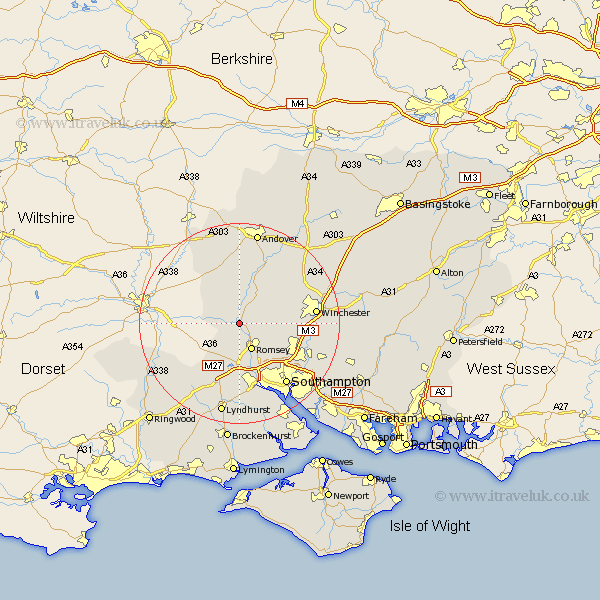
Hampshire Map Showing Location of Mottisfont
Population: 351
District: Test Valley
Easting: 432719 Northing: 126156
Latitude: 51.03 Longitude: -1.53
 = Mottisfont
District: Test Valley
Easting: 432719 Northing: 126156
Latitude: 51.03 Longitude: -1.53
= Mottisfont
This Mottisfont map below is supplied by Google. Use the tools in the top left corner to zoom into street level or zoom out for a road map, you may also need to zoom in to see Mottisfont on the map. Click and drag the map to move around. If the map fails to load try and refresh your browser or zoom in or out (+ or -).
Update - it seems Google no longer allow people to use their maps for free! This Mottisfont map sometimes loads and sometimes gives a error. I am working on a solution.
Closest 30 Towns or Cities to Mottisfont (Population over 500)
Michlemersh 2.33km Michelmersh 2.33km Kings Somborne 5.1km Broughton 5.68km Romsey 6.03km Sherfield English 6.57km West Wellow 8.19km Stockbridge 8.2km Hursley 9.51km Nether Wallop 9.56km Sparsholt 11.12km Over Wallop 12.06km Chilworth 12.35km Bramshaw 12.56km Otterbourne 13.35km Cadnam 13.43km Totton 13.43km Compton 14.11km Chilbolton 14.74km Eastleigh 14.81km Eling 15.23km Clatford 15.24km Lower Clatford 15.24km Goodworth Clatford 15.24km Twyford 15.26km Winchester 15.37km Southampton 15.68km Bishopstoke 15.83km Abbotts Ann 16.72km Abbots Ann 16.72km