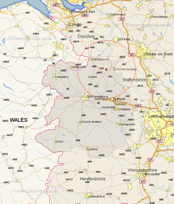
Shropshire Map Showing Location of Moreton Say
Population: 429
District: North Shropshire
Easting: 363007 Northing: 333794
Latitude: 52.9 Longitude: -2.55
 = Moreton Say
District: North Shropshire
Easting: 363007 Northing: 333794
Latitude: 52.9 Longitude: -2.55
= Moreton Say
This Moreton Say map below is supplied by Google. Use the tools in the top left corner to zoom into street level or zoom out for a road map, you may also need to zoom in to see Moreton Say on the map. Click and drag the map to move around. If the map fails to load try and refresh your browser or zoom in or out (+ or -).
Update - it seems Google no longer allow people to use their maps for free! This Moreton Say map sometimes loads and sometimes gives a error. I am working on a solution.
Closest 30 Towns or Cities to Moreton Say (Population over 500)
Market Drayton 5.59km Stoke 5.67km Stoke upon Tern 5.67km Hodnet 5.99km Precs 8.04km Prees 8.04km Norton in Hales 8.71km Cheswardine 9.68km Hinstock 10km Whixall 11.18km Stanton upon Hine Heath 11.44km Stanton 11.44km Whitchurch 11.61km Wem 12.49km Broughton 13.42km Woore 13.67km Shawbury 14.61km Cherrington 15.2km Loppington 16.09km Chetwynd 16.43km Ercall Magna 17.01km High Ercall 17.01km Newport 17.14km Edgmond 17.32km Hadnall 18.58km Rodington 19.07km Welshampton 20.12km Cockshutt 20.89km Cockshut 20.89km Lilleshall 21.1km