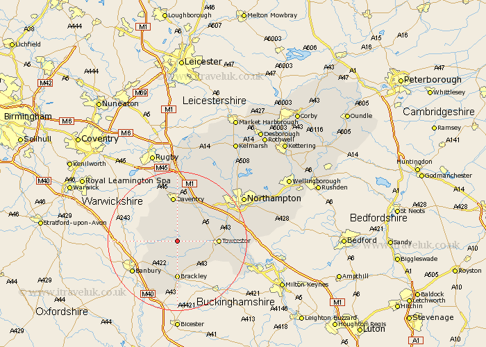
Northamptonshire Map Showing Location of Moreton Pinkney
Population: 364
District: South Northamptonshire
Easting: 458173 Northing: 248719
Latitude: 52.13 Longitude: -1.15
 = Moreton Pinkney
District: South Northamptonshire
Easting: 458173 Northing: 248719
Latitude: 52.13 Longitude: -1.15
= Moreton Pinkney
This Moreton Pinkney map below is supplied by Google. Use the tools in the top left corner to zoom into street level or zoom out for a road map, you may also need to zoom in to see Moreton Pinkney on the map. Click and drag the map to move around. If the map fails to load try and refresh your browser or zoom in or out (+ or -).
Update - it seems Google no longer allow people to use their maps for free! This Moreton Pinkney map sometimes loads and sometimes gives a error. I am working on a solution.
Closest 30 Towns or Cities to Moreton Pinkney (Population over 500)
Helmdon 5.67km Byfield 6.79km Greatworth 7.75km Chipping Warden 8.18km Syresham 8.69km Badby 9.55km Pattishall 9.83km Boddington 9.83km Upper Boddington 9.83km Chalcombe 10.67km Chacombe 10.67km Silverstone 10.67km Weedon Beck 10.88km Weedon 10.88km Brackley 11.12km Towcester 11.38km Bugbrooke 11.73km Whittlebury 12.67km Daventry 13.03km Flore 13.05km Gayton 13.05km Kings Sutton 15.22km Blisworth 15.24km Kislingbury 15.57km Paulerspury 15.81km Harpole 15.9km Welton 16.68km Milton 16.86km Braunston 17.02km Croughton 17.03km