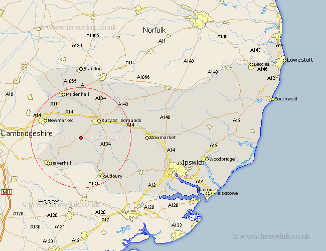
Suffolk Map Showing Location of Chedburgh
Population: 648
District: St. Edmundsbury
Easting: 578868 Northing: 257170
Latitude: 52.18 Longitude: 0.62
 = Chedburgh
District: St. Edmundsbury
Easting: 578868 Northing: 257170
Latitude: 52.18 Longitude: 0.62
= Chedburgh
This Chedburgh map below is supplied by Google. Use the tools in the top left corner to zoom into street level or zoom out for a road map, you may also need to zoom in to see Chedburgh on the map. Click and drag the map to move around. If the map fails to load try and refresh your browser or zoom in or out (+ or -).
Update - it seems Google no longer allow people to use their maps for free! This Chedburgh map sometimes loads and sometimes gives a error. I am working on a solution.
Closest 30 Towns or Cities to Chedburgh (Population over 500)
Chedburgh 0km Chevington 1.85km Wickhambrook 5.04km Barrow 6km Lawshall 8.78km Risby 9.34km Glemsford 9.87km Bury St Edmunds 10.07km Bury Saint Edmunds 10.07km Bury St. Edmunds 10.07km Gazeley 10.07km Hundon 10.32km Fornham All Saints 10.87km Rushbrooke 10.88km Cavendish 11.18km Clare 11.35km Moulton 11.72km Cockfield 11.96km Bradfield 12.63km Bradfield St. George 12.63km Bradfield St George 12.63km Bradfield Saint George 12.63km Great Barton 13.8km Kedington 14.37km Long Melford 14.66km Thurston 15.51km Newmarket 15.51km Thurlow 15.53km Lavenham 15.57km Haverhill 16.74km