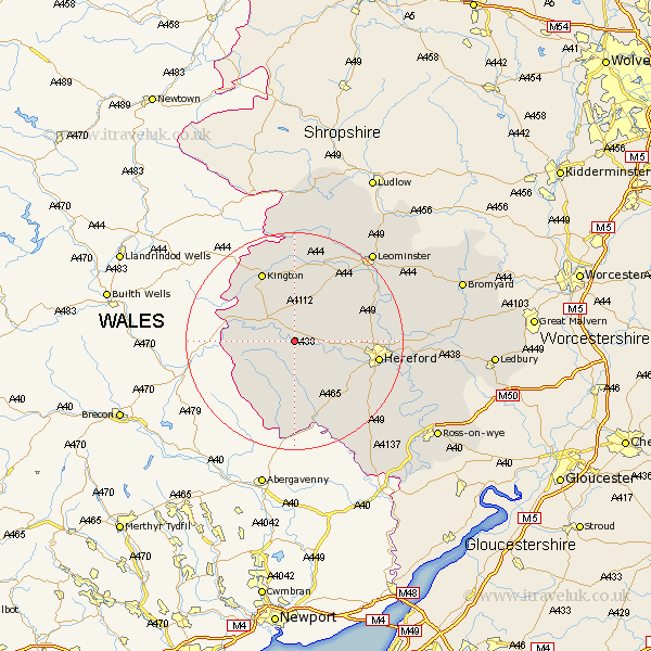
Herefordshire Map Showing Location of Moccas
Population: 131
Easting: 336052 Northing: 243228
Latitude: 52.08 Longitude: -2.93
 = Moccas
Easting: 336052 Northing: 243228
Latitude: 52.08 Longitude: -2.93
= Moccas
This Moccas map below is supplied by Google. Use the tools in the top left corner to zoom into street level or zoom out for a road map, you may also need to zoom in to see Moccas on the map. Click and drag the map to move around. If the map fails to load try and refresh your browser or zoom in or out (+ or -).
Update - it seems Google no longer allow people to use their maps for free! This Moccas map sometimes loads and sometimes gives a error. I am working on a solution.
Closest 30 Towns or Cities to Moccas (Population over 500)
Peterchurch 5.67km Eardisley 7.19km Madley 7.96km Almeley 8.16km Credenhill 9.3km Kingstone 10.08km Weobley 10.33km Burghill 11.54km Clifford 11.54km Dilwyn 12.01km Allensmore 12.65km Lyonshall 13.42km Wellington 13.7km Moreton-on-Lugg 13.79km Moreton on Lugg 13.79km Moreton 13.79km Kington 14.17km Pembridge 15.01km Ewyas Harold 15.21km Hereford 15.27km Bullingham 15.82km Eardisland 15.89km Much Dewchurch 16.76km Sutton 17.18km Bodenham 18.61km Shobdon 19.09km Lugwardine 19.45km Much Birch 19.69km Withington 20.58km Kingsland 20.65km