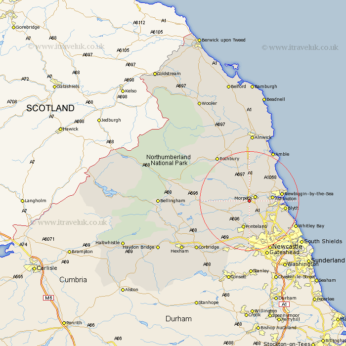
Northumberland Map Showing Location of Mitford
Population: 431
District: Castle Morpeth
Easting: 418054 Northing: 584004
Latitude: 55.15 Longitude: -1.72
 = Mitford
District: Castle Morpeth
Easting: 418054 Northing: 584004
Latitude: 55.15 Longitude: -1.72
= Mitford
This Mitford map below is supplied by Google. Use the tools in the top left corner to zoom into street level or zoom out for a road map, you may also need to zoom in to see Mitford on the map. Click and drag the map to move around. If the map fails to load try and refresh your browser or zoom in or out (+ or -).
Update - it seems Google no longer allow people to use their maps for free! This Mitford map sometimes loads and sometimes gives a error. I am working on a solution.
Closest 30 Towns or Cities to Mitford (Population over 500)
Morpeth 2.82km Hepscott 4.24km Hebron 4.27km Pegswood 5.61km Stannington 6.4km Ashington 8.42km Bedlington 8.56km Longhorsley 9.79km Dudley 11.26km Ponteland 11.32km Dinnington 11.32km Newbiggin-by-the-Sea 12.05km Newbiggin by the Sea 12.05km Ellington 12.07km Cramlington 12.56km Lynemouth 13.1km Blythe 13.28km Blyth 13.28km Felton 14.86km East Thirston 14.97km Thirston 14.97km Woolsington 14.97km Seghill 15.37km Longframlington 15.41km Seaton Delaval 15.74km Shiremoor 16.03km Stamfordham 16.11km Killingworth 16.11km Seaton Sluice 16.34km Swarland 16.71km