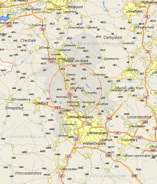
Staffordshire Map Showing Location of Milford
District: Stafford
Easting: 396628 Northing: 320673
Latitude: 52.78 Longitude: -2.05
 = Milford
Easting: 396628 Northing: 320673
Latitude: 52.78 Longitude: -2.05
= Milford
This Milford map below is supplied by Google. Use the tools in the top left corner to zoom into street level or zoom out for a road map, you may also need to zoom in to see Milford on the map. Click and drag the map to move around. If the map fails to load try and refresh your browser or zoom in or out (+ or -).
Update - it seems Google no longer allow people to use their maps for free! This Milford map sometimes loads and sometimes gives a error. I am working on a solution.
Closest 30 Towns or Cities to Milford (Population over 500)
Bednall 2.16km Stafford 3.84km Colwich 4.48km Weston 6km Weston upon Trent 6km Hopton 6.5km Penkridge 7.14km Rugeley 8.06km Colton 9.16km Huntington 9.33km Seighford 9.7km Hednesford 9.85km Haughton 10.09km Cannock 11.34km Abbots Bromley 11.8km Norton Canes 12.45km Armitage 12.52km Great Wyrley 12.87km Wyrley 12.87km Church Eaton 12.88km Shareshill 13.16km Longdon 13.44km Wheaton Aston 13.44km Gnossall 13.45km Gnosall 13.45km Brewood 13.61km Stone 14.13km Hilderstone 15km Burntwood 15.02km Eccleshall 15.35km