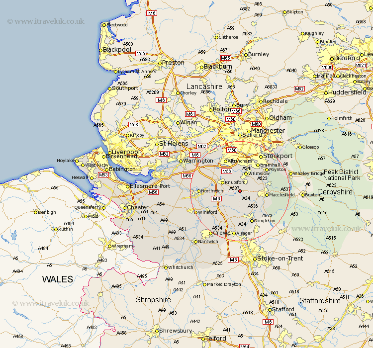
Cheshire Map Showing Location of Chelford
Population: 1254
District: Macclesfield
Easting: 382215 Northing: 374475
Latitude: 53.27 Longitude: -2.27
 = Chelford
District: Macclesfield
Easting: 382215 Northing: 374475
Latitude: 53.27 Longitude: -2.27
= Chelford
This Chelford map below is supplied by Google. Use the tools in the top left corner to zoom into street level or zoom out for a road map, you may also need to zoom in to see Chelford on the map. Click and drag the map to move around. If the map fails to load try and refresh your browser or zoom in or out (+ or -).
Update - it seems Google no longer allow people to use their maps for free! This Chelford map sometimes loads and sometimes gives a error. I am working on a solution.
Closest 30 Towns or Cities to Chelford (Population over 500)
Alderley 2.89km Nether Alderley 2.89km Alderley Edge 4.32km Goostrey 5.78km Peover Superior 5.85km Peover 5.85km Mobberley 6.48km Knutsford 7.61km Wilmslow 7.73km Prestbury 7.97km Prestburg 7.97km Gawsworth 8.67km Holmes Chapel 9.97km Plumley Station 9.98km Plumbley 9.98km Macclesfield 10.15km Adlington 10.46km Brereton cum Smethwick 11.97km Brereton 11.97km Mere 12.42km Bollington 12.74km Bowdon 12.95km Bramhall 12.95km Lostock Gralam 13.3km Rainow 13.43km Poynton 13.61km Congleton 13.71km Altrincham 14.1km Middlewich 14.46km Middlewick 14.46km