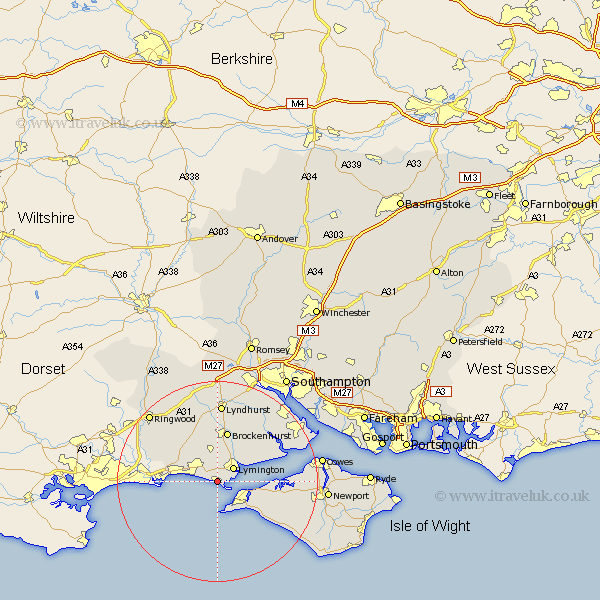
Hampshire Map Showing Location of Milford
Population: 4570
Area Size (ha): 216
District: New Forest
Easting: 428740 Northing: 91851
Latitude: 50.72 Longitude: -1.59
 = Milford
Area Size (ha): 216
District: New Forest
Easting: 428740 Northing: 91851
Latitude: 50.72 Longitude: -1.59
= Milford
This Milford map below is supplied by Google. Use the tools in the top left corner to zoom into street level or zoom out for a road map, you may also need to zoom in to see Milford on the map. Click and drag the map to move around. If the map fails to load try and refresh your browser or zoom in or out (+ or -).
Update - it seems Google no longer allow people to use their maps for free! This Milford map sometimes loads and sometimes gives a error. I am working on a solution.
Closest 30 Towns or Cities to Milford (Population over 500)
Hordle 2.83km Lymington 4.1km Milton 4.13km New Milton 4.13km Barton on Sea 5.28km Barton-on-Sea 5.28km Barton 5.28km Boldre 6.24km Sway 6.5km Yarmouth 7.1km Totland 7.72km Freshwater 8.41km Brockenhurst 10.36km Bransgore 11.82km Burley 12.68km Shalfleet 13.86km Sopley 14.19km Bewley 14.31km Beaulieu 14.31km Calbourne 15.05km Lyndhurst 15.77km Minstead 17.61km Brighstone 17.94km Brightstone 17.94km Ringwood 19.3km Dibden 19.33km Northwood 19.46km Gurnard 19.63km Fawley 19.89km Shorwell 19.92km