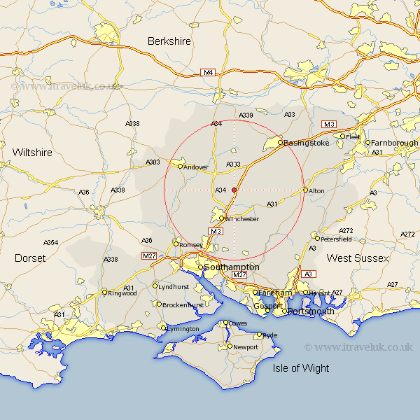
Hampshire Map Showing Location of Micheldever
Population: 1175
District: Winchester
Easting: 451304 Northing: 137428
Latitude: 51.13 Longitude: -1.27
 = Micheldever
District: Winchester
Easting: 451304 Northing: 137428
Latitude: 51.13 Longitude: -1.27
= Micheldever
This Micheldever map below is supplied by Google. Use the tools in the top left corner to zoom into street level or zoom out for a road map, you may also need to zoom in to see Micheldever on the map. Click and drag the map to move around. If the map fails to load try and refresh your browser or zoom in or out (+ or -).
Update - it seems Google no longer allow people to use their maps for free! This Micheldever map sometimes loads and sometimes gives a error. I am working on a solution.
Closest 30 Towns or Cities to Micheldever (Population over 500)
Wonston 3.95km Kings Worthy 6.03km Barton Stacey 7.9km New Alresford 8.93km Winchester 9.21km North Waltham 9.42km Whitchurch 10.37km Longparish 10.83km Dummer 11.01km Sparsholt 11.01km Overton 11.18km Cheriton 11.6km Chilbolton 11.77km Twyford 13.43km Compton 13.78km Medstead 14.08km Oakley 14.22km Ropley 14.79km Owslebury 14.82km Four Marks 15.23km Bramdean 15.28km Lower Clatford 15.56km Clatford 15.56km Goodworth Clatford 15.56km Stockbridge 15.57km Otterbourne 15.93km Hursley 15.96km Upper Clatford 16.1km Andover 16.83km Kings Somborne 16.84km