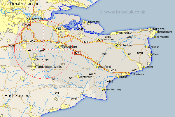
Kent Map Showing Location of Mereworth
Population: 1111
District: Tonbridge and Malling
Easting: 565148 Northing: 152809
Latitude: 51.25 Longitude: 0.37
 = Mereworth
District: Tonbridge and Malling
Easting: 565148 Northing: 152809
Latitude: 51.25 Longitude: 0.37
= Mereworth
This Mereworth map below is supplied by Google. Use the tools in the top left corner to zoom into street level or zoom out for a road map, you may also need to zoom in to see Mereworth on the map. Click and drag the map to move around. If the map fails to load try and refresh your browser or zoom in or out (+ or -).
Update - it seems Google no longer allow people to use their maps for free! This Mereworth map sometimes loads and sometimes gives a error. I am working on a solution.
Closest 30 Towns or Cities to Mereworth (Population over 500)
Wateringbury 3.48km Offham 3.7km Addington 4.37km Hadlow 4.37km West Malling 4.37km Plaxtol 4.64km East Malling 5km East Peckham 5.68km Ryarsh 5.68km Borough Green 5.94km Yalding 5.94km Wrotham 6.56km Barming 6.96km East Barming 6.96km Snodland 8.75km Aylesford 8.92km Paddock Wood 9.33km Tonbridge 9.42km Hunton 9.84km Ridley 9.89km Maidstone 10.6km Loose 10.61km Kemsing 10.81km Hildenborough 10.82km Burham 10.99km Seal 11.07km Linton 11.08km Wouldham 11.58km Sevenoaks 11.75km Ash 12.05km