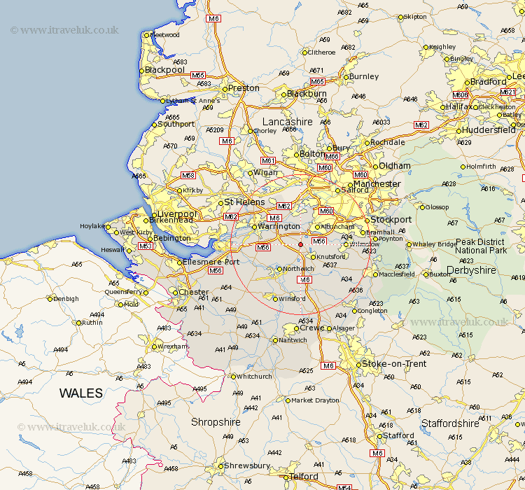
Cheshire Map Showing Location of Mere
Population: 601
District: Macclesfield
Easting: 372255 Northing: 381931
Latitude: 53.33 Longitude: -2.42
 = Mere
District: Macclesfield
Easting: 372255 Northing: 381931
Latitude: 53.33 Longitude: -2.42
= Mere
This Mere map below is supplied by Google. Use the tools in the top left corner to zoom into street level or zoom out for a road map, you may also need to zoom in to see Mere on the map. Click and drag the map to move around. If the map fails to load try and refresh your browser or zoom in or out (+ or -).
Update - it seems Google no longer allow people to use their maps for free! This Mere map sometimes loads and sometimes gives a error. I am working on a solution.
Closest 30 Towns or Cities to Mere (Population over 500)
High Legh 2.89km Lymm 3.88km Knutsford 4.97km Bowdon 4.98km Mobberley 6.89km Altrincham 7.11km Plumley Station 7.41km Plumbley 7.41km Lostock Gralam 8.12km Thelwall 8.66km Stockton Heath 8.7km Appleton 9.04km Marston 9.25km Northwich 9.25km Northwick 9.25km Partington 9.27km Stretton 9.96km Peover Superior 10.27km Peover 10.27km Anderton 10.72km Risley 11.4km Glazebrook 11.6km Sale 12.08km Wilmslow 12.17km Chelford 12.42km Goostrey 12.42km Alderley Edge 12.73km Davenham 12.96km Warrington 13.38km Nether Alderley 13.39km