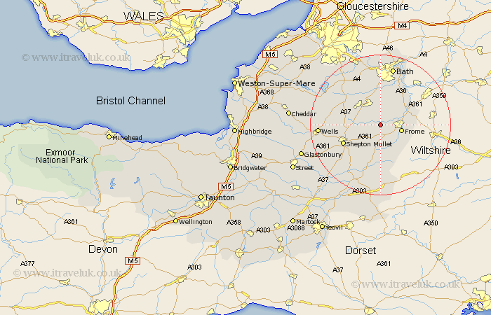
Somerset Map Showing Location of Mells
Population: 647
District: Mendip
Easting: 372075 Northing: 148368
Latitude: 51.23 Longitude: -2.4
 = Mells
District: Mendip
Easting: 372075 Northing: 148368
Latitude: 51.23 Longitude: -2.4
= Mells
This Mells map below is supplied by Google. Use the tools in the top left corner to zoom into street level or zoom out for a road map, you may also need to zoom in to see Mells on the map. Click and drag the map to move around. If the map fails to load try and refresh your browser or zoom in or out (+ or -).
Update - it seems Google no longer allow people to use their maps for free! This Mells map sometimes loads and sometimes gives a error. I am working on a solution.
Closest 30 Towns or Cities to Mells (Population over 500)
Nunney 3.88km Leigh upon Mendip 3.94km Leigh-on-Mendip 3.94km Leigh on Mendip 3.94km Leigh 3.94km Coleford 4.08km Kilmersdon 4.38km Kilmersden 4.38km Holcombe 5.8km Frome 6.09km Stratton-on-the-Fosse 7.89km Stratton on the Fosse 7.89km Chilcompton 7.89km Stratton 7.89km Norton St Philip 8.75km Norton Saint Philip 8.75km Norton St. Philip 8.75km Beckington 8.93km Wellow 9.35km Rode 9.84km Road 9.84km Camerton 9.9km Paulton 10.17km Farrington Gurney 10.82km Timsbury 10.93km Evercreech 11.59km Shepton Mallet 11.84km Shepun 11.84km Farmboro 13.11km Farmborough 13.11km