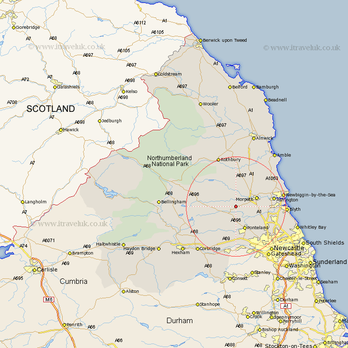
Northumberland Map Showing Location of Meldon
Population: 162
District: Castle Morpeth
Easting: 412750 Northing: 582128
Latitude: 55.13 Longitude: -1.8
 = Meldon
District: Castle Morpeth
Easting: 412750 Northing: 582128
Latitude: 55.13 Longitude: -1.8
= Meldon
This Meldon map below is supplied by Google. Use the tools in the top left corner to zoom into street level or zoom out for a road map, you may also need to zoom in to see Meldon on the map. Click and drag the map to move around. If the map fails to load try and refresh your browser or zoom in or out (+ or -).
Update - it seems Google no longer allow people to use their maps for free! This Meldon map sometimes loads and sometimes gives a error. I am working on a solution.
Closest 30 Towns or Cities to Meldon (Population over 500)
Morpeth 8.29km Stannington 9.25km Hebron 9.26km Hepscott 9.71km Ponteland 9.79km Pegswood 11.22km Longhorsley 11.32km Dinnington 11.87km Stamfordham 11.9km Bedlington 13.63km Ashington 13.99km Dudley 14.56km Woolsington 14.94km Cramlington 15.65km Longframlington 16.71km Ellington 17.48km Newbiggin-by-the-Sea 17.65km Newbiggin by the Sea 17.65km Felton 17.84km Blyth 18.23km Blythe 18.23km East Thirston 18.25km Thirston 18.25km Seghill 18.41km Killingworth 18.55km Shiremoor 18.57km Lynemouth 18.6km Wylam 18.8km Gosforth 18.87km Newburn 19.01km