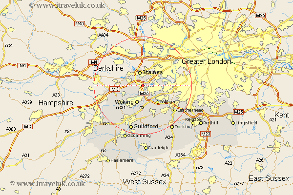
Surrey Map Showing Location of Chertsey
Population: 9797
Area Size (ha): 238
District: Runnymede
Easting: 504372 Northing: 166039
Latitude: 51.38 Longitude: -0.5
 = Chertsey
Area Size (ha): 238
District: Runnymede
Easting: 504372 Northing: 166039
Latitude: 51.38 Longitude: -0.5
= Chertsey
This Chertsey map below is supplied by Google. Use the tools in the top left corner to zoom into street level or zoom out for a road map, you may also need to zoom in to see Chertsey on the map. Click and drag the map to move around. If the map fails to load try and refresh your browser or zoom in or out (+ or -).
Update - it seems Google no longer allow people to use their maps for free! This Chertsey map sometimes loads and sometimes gives a error. I am working on a solution.
Closest 30 Towns or Cities to Chertsey (Population over 500)
Addlestone 2.18km Weybridge 2.96km Shepperton 3.47km Ottershaw 4.37km Walton 4.63km Walton upon Thames 4.63km Staines 5.68km Egham 5.93km Byfleet 6.02km Sunbury on Thames 7.18km Sunbury-on-Thames 7.18km Lower Sunbury 7.18km Sunbury 7.18km Virginia Water 7.18km Woking 7.76km Chobham 8.9km Church Cobham 9.4km Cobham 9.4km Esher 9.97km Molesey 10.57km Windlesham 10.57km Bisley 10.8km Claygate 11.05km Ripley 11.18km Send 11.36km Oxshott 12.78km Bagshot 12.86km Worplesdon 13.11km West Horsley 13.42km Pirbright 14.47km