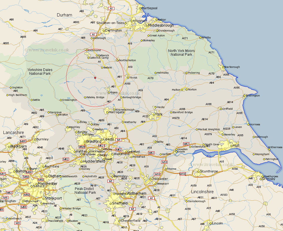
Yorkshire Map Showing Location of Masham
Population: 1235
District: Harrogate
Easting: 422820 Northing: 480182
Latitude: 54.22 Longitude: -1.65
 = Masham
District: Harrogate
Easting: 422820 Northing: 480182
Latitude: 54.22 Longitude: -1.65
= Masham
This Masham map below is supplied by Google. Use the tools in the top left corner to zoom into street level or zoom out for a road map, you may also need to zoom in to see Masham on the map. Click and drag the map to move around. If the map fails to load try and refresh your browser or zoom in or out (+ or -).
Update - it seems Google no longer allow people to use their maps for free! This Masham map sometimes loads and sometimes gives a error. I am working on a solution.
Closest 30 Towns or Cities to Masham (Population over 500)
Grewelthorpe 3.71km Kirkby Malzeard 5.56km West Tanfield 5.73km Tanfield 5.73km Bedale 8.58km Crakehall 9.51km Middleham 13.12km Ripon 14.11km Leyburn 14.25km Bewerley 16.67km Catterick 16.71km Dishforth 16.9km Topcliffe 17.74km Bishop Monkton 17.76km Monkton 17.76km Scorton 18.81km Dacre 19.04km Northallerton 19.13km Burton Leonard 19.33km Birstwith 20.5km Bradley 20.59km Thirsk 20.59km Darley 20.65km Richmond 21.09km Brompton 21.19km North Cowton 21.39km Boroughbridge 22.02km Hampsthwaite 22.48km Killinghall 23.18km Cowton 23.49km