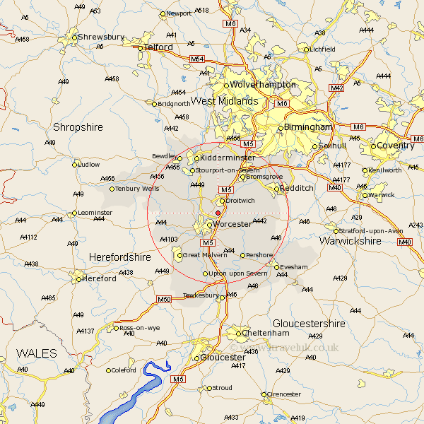
Worcestershire Map Showing Location of Martin Hussingtree
Population: 255
District: Wychavon
Easting: 388618 Northing: 259513
Latitude: 52.23 Longitude: -2.17
 = Martin Hussingtree
District: Wychavon
Easting: 388618 Northing: 259513
Latitude: 52.23 Longitude: -2.17
= Martin Hussingtree
This Martin Hussingtree map below is supplied by Google. Use the tools in the top left corner to zoom into street level or zoom out for a road map, you may also need to zoom in to see Martin Hussingtree on the map. Click and drag the map to move around. If the map fails to load try and refresh your browser or zoom in or out (+ or -).
Update - it seems Google no longer allow people to use their maps for free! This Martin Hussingtree map sometimes loads and sometimes gives a error. I am working on a solution.
Closest 30 Towns or Cities to Martin Hussingtree (Population over 500)
Fernhill Heath 2.27km Droitwich 3.88km Worcester 4.34km Crowle 5.03km Grimley 5.67km Ombersley 5.86km Hallow 5.97km Holt 5.97km Hanbury 8.77km Powick 9.33km Stoke Prior 10.07km Peopleton 10.32km Kempsey 11.35km Leigh 11.64km Hartlebury 12.01km Astley 12.62km Feckenham 12.62km Bishampton 12.62km Chaddesley Corbett 12.98km Wadborough 13.01km Bromsgrove 13.04km Martley 13.62km Great Witley 13.66km Dodford 13.75km Great Dodford 13.75km Inkberrow 14.12km Pershore 14.65km Stourport on Severn 14.65km Stourport 14.65km Stourport-on-Severn 14.65km