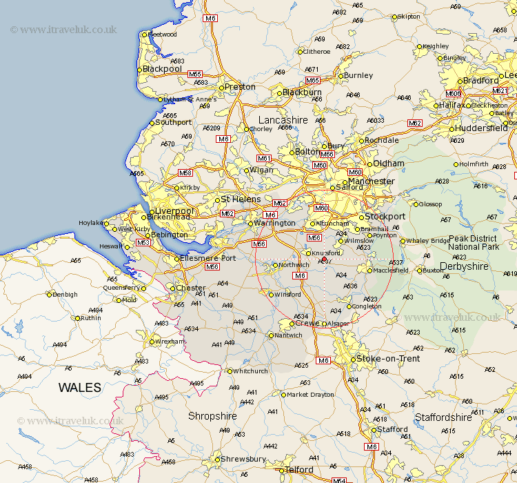
Cheshire Map Showing Location of Marthall
Population: 165
District: Macclesfield
Easting: 380000 Northing: 376331
Latitude: 53.28 Longitude: -2.3
 = Marthall
District: Macclesfield
Easting: 380000 Northing: 376331
Latitude: 53.28 Longitude: -2.3
= Marthall
This Marthall map below is supplied by Google. Use the tools in the top left corner to zoom into street level or zoom out for a road map, you may also need to zoom in to see Marthall on the map. Click and drag the map to move around. If the map fails to load try and refresh your browser or zoom in or out (+ or -).
Update - it seems Google no longer allow people to use their maps for free! This Marthall map sometimes loads and sometimes gives a error. I am working on a solution.
Closest 30 Towns or Cities to Marthall (Population over 500)
Chelford 2.88km Mobberley 3.88km Nether Alderley 4.43km Alderley 4.43km Knutsford 4.8km Alderley Edge 4.81km Peover 4.98km Peover Superior 4.98km Goostrey 5.99km Wilmslow 7.11km Plumbley 7.97km Plumley Station 7.97km Mere 9.54km Prestburg 9.97km Prestbury 9.97km Holmes Chapel 10.27km Bowdon 10.28km Lostock Gralam 11.23km Gawsworth 11.56km Altrincham 11.6km Adlington 11.68km High Legh 12.42km Macclesfield 12.74km Lymm 12.82km Bramhall 12.82km Brereton 13.15km Brereton cum Smethwick 13.15km Northwick 13.43km Marston 13.43km Northwich 13.43km