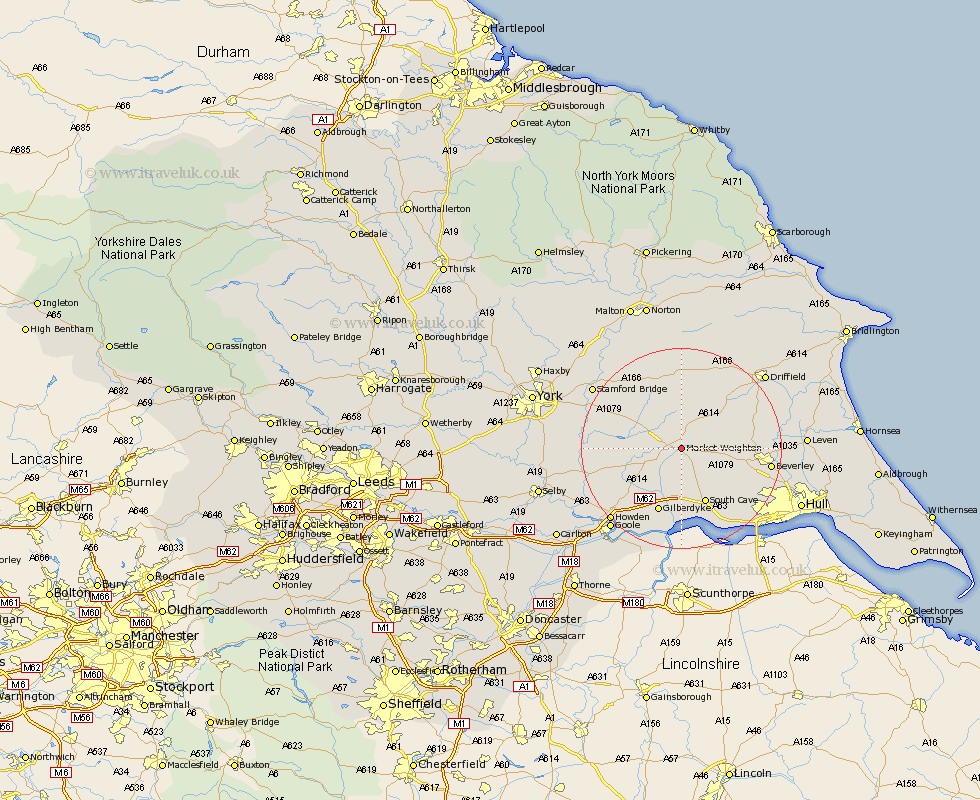
Yorkshire Map Showing Location of Market Weighton
Population: 4322
Area Size (ha): 123
Easting: 487667 Northing: 442012
Latitude: 53.87 Longitude: -0.67
 = Market Weighton
Area Size (ha): 123
Easting: 487667 Northing: 442012
Latitude: 53.87 Longitude: -0.67
= Market Weighton
This Market Weighton map below is supplied by Google. Use the tools in the top left corner to zoom into street level or zoom out for a road map, you may also need to zoom in to see Market Weighton on the map. Click and drag the map to move around. If the map fails to load try and refresh your browser or zoom in or out (+ or -).
Update - it seems Google no longer allow people to use their maps for free! This Market Weighton map sometimes loads and sometimes gives a error. I am working on a solution.
Closest 30 Towns or Cities to Market Weighton (Population over 500)
Holme upon Spalding Moor 7.54km Holme 7.54km Pocklington 9.2km Seaton Ross 10.01km Cherry Burton 10.93km North Cave 11.17km Bishop Burton 11.55km South Cave 11.95km Melbourne 12.16km Barmby on the Moor 12.3km Barmby 12.3km Barmby-on-the-Moor 12.3km Lockington 12.57km Newport 13.16km Leconfield 14.21km Leckonfield 14.21km Eastrington 15.07km Fangfoss 15.58km Skidby 16.07km Wetwang 16.2km Welton 16.22km North Frodingham 16.36km Beverley 16.81km Wilberfoss 16.95km Sutton 17.3km Sutton upon Derwent 17.3km Bubwith 17.32km Cranswick 17.87km Willerby 18.05km Tickton 18.58km