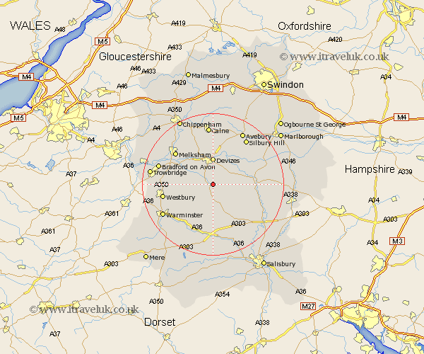
Wiltshire Map Showing Location of Lavington
Population: 1774
Area Size (ha): 54
District: Kennet
Easting: 401162 Northing: 153852
Latitude: 51.28 Longitude: -1.98
 = Lavington
Area Size (ha): 54
District: Kennet
Easting: 401162 Northing: 153852
Latitude: 51.28 Longitude: -1.98
= Lavington
This Lavington map below is supplied by Google. Use the tools in the top left corner to zoom into street level or zoom out for a road map, you may also need to zoom in to see Lavington on the map. Click and drag the map to move around. If the map fails to load try and refresh your browser or zoom in or out (+ or -).
Update - it seems Google no longer allow people to use their maps for free! This Lavington map sometimes loads and sometimes gives a error. I am working on a solution.
Closest 30 Towns or Cities to Lavington (Population over 500)
West Lavington 3.88km Urchfont 3.94km Potterne 4.38km Erlestoke 5.8km Worton 6.88km Devizes 7.42km Rowde 8.19km Edington 8.32km Roundway 9.27km Bratton 9.46km Bishops Cannings 9.56km Seend 10.16km Steeple Ashton 10.59km Upavon 11.59km Shrewton 12.54km Enford 13.28km Semington 13.75km Melksham 13.95km Hilperton 14.39km Westbury 14.4km Heytesbury 14.49km Netheravon 14.99km Cherhill 15.01km Codford 15.53km Figheldean 15.77km Laycock 15.94km Lacock 15.94km Bradford on Avon 16.05km Bradford-on-Avon 16.05km Lark Hill 16.07km