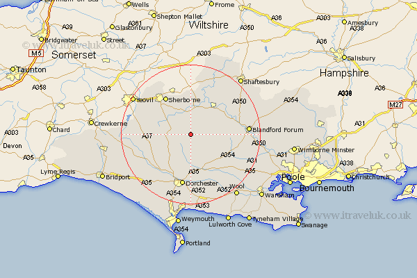
Dorset Map Showing Location of Mappowder
Population: 137
District: North Dorset
Easting: 371844 Northing: 105747
Latitude: 50.85 Longitude: -2.4
 = Mappowder
District: North Dorset
Easting: 371844 Northing: 105747
Latitude: 50.85 Longitude: -2.4
= Mappowder
This Mappowder map below is supplied by Google. Use the tools in the top left corner to zoom into street level or zoom out for a road map, you may also need to zoom in to see Mappowder on the map. Click and drag the map to move around. If the map fails to load try and refresh your browser or zoom in or out (+ or -).
Update - it seems Google no longer allow people to use their maps for free! This Mappowder map sometimes loads and sometimes gives a error. I am working on a solution.
Closest 30 Towns or Cities to Mappowder (Population over 500)
Buckland Newton 3.97km Cerne Abbas 7.27km Piddletrenthide 7.51km Puddletrenthide 7.51km Milton Abbas 9.9km Leigh 10.69km Sturminster Newton 11.04km Stalbridge 11.36km Puddletown 11.66km Piddletown 11.66km Stickland Winterborne 11.85km Winterborne Stickland 11.85km Shillingstone 11.9km Milborne St Andrew 12.37km Milborne 12.37km Milborne Saint Andrew 12.37km Milborne St. Andrew 12.37km Yetminster 12.95km Whitechurch 12.96km Sherborne 13.15km Sherbourne 13.15km Charminster 13.44km Child Okeford 13.85km Marnhull 14.23km Stourpaine 14.52km Bradford Abbas 14.85km Maiden Newton 14.93km Dorchester 15.01km Blandford 16.48km Blandford Forum 16.48km