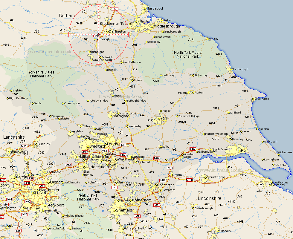
Yorkshire Map Showing Location of Manfield
Population: 264
District: Richmondshire
Easting: 422655 Northing: 513559
Latitude: 54.52 Longitude: -1.65
 = Manfield
District: Richmondshire
Easting: 422655 Northing: 513559
Latitude: 54.52 Longitude: -1.65
= Manfield
This Manfield map below is supplied by Google. Use the tools in the top left corner to zoom into street level or zoom out for a road map, you may also need to zoom in to see Manfield on the map. Click and drag the map to move around. If the map fails to load try and refresh your browser or zoom in or out (+ or -).
Update - it seems Google no longer allow people to use their maps for free! This Manfield map sometimes loads and sometimes gives a error. I am working on a solution.
Closest 30 Towns or Cities to Manfield (Population over 500)
Melsonby 4.29km Barton 5.56km Middleton Tyas 7.42km Gilling 10.23km East Cowton 13.43km Cowton 13.43km Richmond 14.05km North Cowton 14.5km Scorton 15.18km Catterick 16.72km Brompton 23.9km Crakehall 24.19km Northallerton 24.74km Middleton 25.37km Middleton upon Leven 25.37km Bedale 26.31km Leyburn 26.4km Middleham 28.11km Osmotherley 28.11km Whorlton 28.14km Seamer 28.53km Stokesley 29.59km Great Broughton 32.09km Middlesborough 32.73km Middlebrough 32.73km Middlesbrough 32.73km South Bank 32.73km South Bank in Normanby 32.73km South Bank-on-Tees 32.73km South Bank on Tees 32.73km