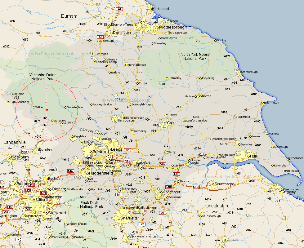
Yorkshire Map Showing Location of Malham
Population: 156
District: Craven
Easting: 390180 Northing: 461590
Latitude: 54.05 Longitude: -2.15
 = Malham
District: Craven
Easting: 390180 Northing: 461590
Latitude: 54.05 Longitude: -2.15
= Malham
This Malham map below is supplied by Google. Use the tools in the top left corner to zoom into street level or zoom out for a road map, you may also need to zoom in to see Malham on the map. Click and drag the map to move around. If the map fails to load try and refresh your browser or zoom in or out (+ or -).
Update - it seems Google no longer allow people to use their maps for free! This Malham map sometimes loads and sometimes gives a error. I am working on a solution.
Closest 30 Towns or Cities to Malham (Population over 500)
Giggleswick 7.62km Settle 7.84km Gargrave 8.1km Long Preston 8.58km Hellifield 8.6km Threshfield 8.7km Grassington 11.03km Skipton 12.72km Embsay 14.3km Carlton 14.53km Carleton 14.53km Earby 14.98km Clapham 16.21km Cononley 17.2km Glusburn 19.35km Sutton-in-Craven 21.5km Addingham 21.73km Silsden 21.89km Bradley 22.05km Steeton 22.68km Ingleton 23.45km Bentham 23.5km High Bentham 23.5km Keighley 24.01km Bewerley 25.29km Ilkley 26.36km Burton in Lonsdale 26.66km Hawes 27.99km Dacre 28.29km Haworth 29.06km