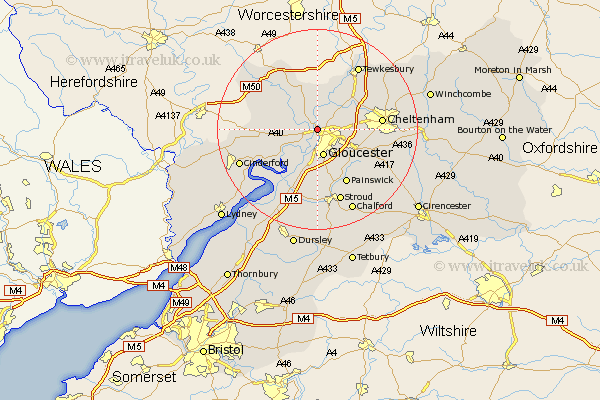
Gloucestershire Map Showing Location of Maisemore
Population: 488
District: Tewkesbury
Easting: 381647 Northing: 220608
Latitude: 51.88 Longitude: -2.27
 = Maisemore
District: Tewkesbury
Easting: 381647 Northing: 220608
Latitude: 51.88 Longitude: -2.27
= Maisemore
This Maisemore map below is supplied by Google. Use the tools in the top left corner to zoom into street level or zoom out for a road map, you may also need to zoom in to see Maisemore on the map. Click and drag the map to move around. If the map fails to load try and refresh your browser or zoom in or out (+ or -).
Update - it seems Google no longer allow people to use their maps for free! This Maisemore map sometimes loads and sometimes gives a error. I am working on a solution.
Closest 30 Towns or Cities to Maisemore (Population over 500)
Hartpury 4.36km Innsworth 4.58km Ashleworth 5.56km Gloucester 5.68km Corse 6.01km Tibberton 6.01km Hucclecote 6.82km Churchdown 6.86km Quedgeley 7.49km Hardwicke 7.75km Brockworth 7.8km Staverton 7.8km Huntley 9.34km Deerhurst 10.34km Shurdington 10.46km Newent 10.7km Redmarley D'Abitot 12.51km Painswick 12.51km Swindon 12.71km Cheltenham 12.72km Leckhampton 12.72km Longhope 12.72km Randwick 13.02km Charlton Kings 13.85km Frampton-on-Severn 14.67km Frampton on Severn 14.67km Frampton 14.67km Newham 14.73km Newnham 14.73km Stonehouse 14.87km