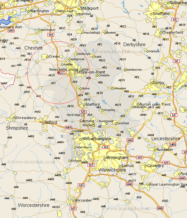
Staffordshire Map Showing Location of Madeley
Population: 2227
Area Size (ha): 69
District: Newcastle-under-Lyme
Easting: 377632 Northing: 344828
Latitude: 53 Longitude: -2.33
 = Madeley
Area Size (ha): 69
District: Newcastle-under-Lyme
Easting: 377632 Northing: 344828
Latitude: 53 Longitude: -2.33
= Madeley
This Madeley map below is supplied by Google. Use the tools in the top left corner to zoom into street level or zoom out for a road map, you may also need to zoom in to see Madeley on the map. Click and drag the map to move around. If the map fails to load try and refresh your browser or zoom in or out (+ or -).
Update - it seems Google no longer allow people to use their maps for free! This Madeley map sometimes loads and sometimes gives a error. I am working on a solution.
Closest 30 Towns or Cities to Madeley (Population over 500)
Keele 3.35km Silverdale 3.83km Betley 4.32km Whitmore 4.99km Audley 5.99km Newcastle-under-Lyme 6.69km Newcastle under Lyme 6.69km Standon 9.85km Stoke upon Trent 10.04km Stoke-on-Trent 10.04km Stoke on Trent 10.04km Stoke-upon-Trent 10.04km Stoke 10.04km Kidsgrove 11.42km Swynnerton 12.12km Swinnerton 12.12km Barlaston 12.47km Biddulph 17.1km Endon 17.19km Stone 17.41km Eccleshall 17.59km Caverswall 17.94km High Offley 18.54km Adbaston 18.57km Fulford 18.7km Hilderstone 19.14km Draycott 20.42km Draycott in the Moors 20.42km Cheddleton 20.82km Horton 21.15km