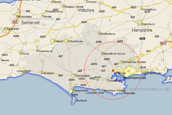
Dorset Map Showing Location of Lytchett Matravers
Population: 2795
Area Size (ha): 79
District: Purbeck
Easting: 395297 Northing: 94554
Latitude: 50.75 Longitude: -2.07
 = Lytchett Matravers
Area Size (ha): 79
District: Purbeck
Easting: 395297 Northing: 94554
Latitude: 50.75 Longitude: -2.07
= Lytchett Matravers
This Lytchett Matravers map below is supplied by Google. Use the tools in the top left corner to zoom into street level or zoom out for a road map, you may also need to zoom in to see Lytchett Matravers on the map. Click and drag the map to move around. If the map fails to load try and refresh your browser or zoom in or out (+ or -).
Update - it seems Google no longer allow people to use their maps for free! This Lytchett Matravers map sometimes loads and sometimes gives a error. I am working on a solution.
Closest 30 Towns or Cities to Lytchett Matravers (Population over 500)
Sturminster Marshall 3.7km Holton Heath 3.88km Holton Heath Station 3.88km Corfe Mullen 4.38km Poole 5.98km Arne 6.03km Spetisbury 8.21km Wareham 8.21km Wimborne 8.88km Wimborne Minster 8.88km Winterborne Kingston 9.56km Bere Regis 10.55km Wool 12.69km Whitechurch 12.97km Tarrant Monkton 13.03km Corfe Castle 13.03km Bournemouth 13.42km Horton 13.82km West Moors 13.87km Bovington Camp 14.05km Parley 14.19km West Parley 14.19km Blandford 14.76km Blandford Forum 14.76km Winterborne Stickland 14.93km Stickland Winterborne 14.93km Fern Down 15.12km Ferndown 15.12km Milborne St Andrew 15.35km Milborne Saint Andrew 15.35km