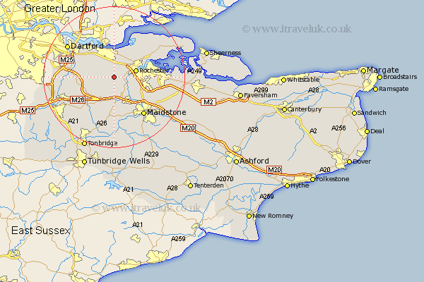
Kent Map Showing Location of Luddesdown
Population: 198
District: Gravesham
Easting: 567049 Northing: 165859
Latitude: 51.37 Longitude: 0.4
 = Luddesdown
District: Gravesham
Easting: 567049 Northing: 165859
Latitude: 51.37 Longitude: 0.4
= Luddesdown
This Luddesdown map below is supplied by Google. Use the tools in the top left corner to zoom into street level or zoom out for a road map, you may also need to zoom in to see Luddesdown on the map. Click and drag the map to move around. If the map fails to load try and refresh your browser or zoom in or out (+ or -).
Update - it seems Google no longer allow people to use their maps for free! This Luddesdown map sometimes loads and sometimes gives a error. I am working on a solution.
Closest 30 Towns or Cities to Luddesdown (Population over 500)
Cobham 1.85km Meopham 2.31km Cuxton 3.94km Shorne 4.37km Hartley 5.79km Wouldham 5.93km Snodland 6.02km Longfield 6.07km Rochester 6.29km Southfleet 6.87km Ridley 6.88km Strood 7.18km Ash 7.19km Ryarsh 7.51km Gravesend 7.76km Burham 8.03km Chatham 8.31km Higham 8.73km Northfleet 8.73km West Malling 9.27km Addington 9.27km Swanscombe 9.4km Wrotham 9.41km Offham 9.56km Aylesford 10.93km Stonewood 10.97km West Kingsdown 11.06km East Malling 11.36km Borough Green 11.59km Gillingham 11.63km