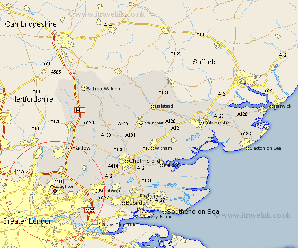
Essex Map Showing Location of Chigwell
Population: 10125
Area Size (ha): 331
District: Epping Forest
Easting: 544219 Northing: 192982
Latitude: 51.62 Longitude: 0.08
 = Chigwell
Area Size (ha): 331
District: Epping Forest
Easting: 544219 Northing: 192982
Latitude: 51.62 Longitude: 0.08
= Chigwell
This Chigwell map below is supplied by Google. Use the tools in the top left corner to zoom into street level or zoom out for a road map, you may also need to zoom in to see Chigwell on the map. Click and drag the map to move around. If the map fails to load try and refresh your browser or zoom in or out (+ or -).
Update - it seems Google no longer allow people to use their maps for free! This Chigwell map sometimes loads and sometimes gives a error. I am working on a solution.
Closest 30 Towns or Cities to Chigwell (Population over 500)
Loughton 2.18km Buckhurst Hill 3.92km Theydon Bois 5.68km Waltham Abbey 8.72km Epping 9.54km North Weald Bassett 10.34km Navestock 10.52km Stanford Rivers 10.75km Ongar Station 10.9km North Weald 10.9km Nazeing 13.02km Chipping Ongar 14.76km Kelvedon Hatch 14.88km High Ongar 15.68km Brentwood 16.11km Roydon 17.03km Ingrave 17.66km Herongate 17.98km Fyfield 18.11km Mountnessing 18.5km Aveley 18.78km Harlow 19.4km South Ockendon 19.82km South Ockedon 19.82km Matching 20.68km Sheering 21.18km Ingatestone 21.43km Hatfield Heath 22.36km Grays 22.78km Grays Thurrock 22.78km