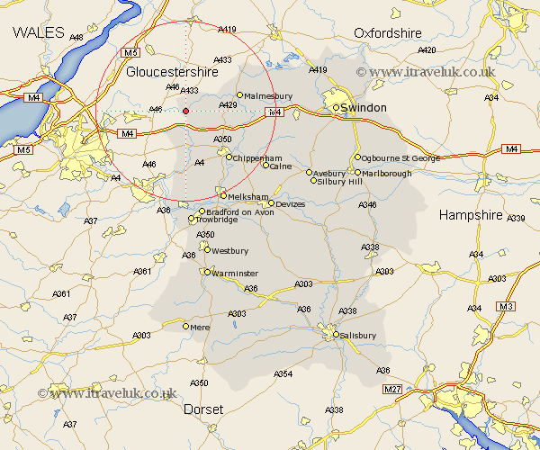
Wiltshire Map Showing Location of Luckington
Population: 532
District: North Wiltshire
Easting: 382667 Northing: 183539
Latitude: 51.55 Longitude: -2.25
 = Luckington
District: North Wiltshire
Easting: 382667 Northing: 183539
Latitude: 51.55 Longitude: -2.25
= Luckington
This Luckington map below is supplied by Google. Use the tools in the top left corner to zoom into street level or zoom out for a road map, you may also need to zoom in to see Luckington on the map. Click and drag the map to move around. If the map fails to load try and refresh your browser or zoom in or out (+ or -).
Update - it seems Google no longer allow people to use their maps for free! This Luckington map sometimes loads and sometimes gives a error. I am working on a solution.
Closest 30 Towns or Cities to Luckington (Population over 500)
Sherston 2.96km Nettleton 5.68km Hullavington 7.16km Yatton Keynell 8.18km Stanton 8.88km Stanton Saint Quintin 8.88km Stanton St. Quintin 8.88km Stanton St Quintin 8.88km Malmsbury 12.1km Malmesbury 12.1km Sutton Benger 12.8km Lea 12.81km Great Somerford 12.81km Somerford 12.81km Colerne 13.03km Corsham 14.2km Chippenham 14.45km Box 14.82km Christian Malford 14.91km Crudwell 15.69km Brinkworth 18.44km Bremhill 18.67km Whitley 18.83km Atworth 18.86km Laycock 19.06km Lacock 19.06km Lyneham 19.95km Broughton Gifford 20.9km Calne 21.63km Hillmarton 21.69km