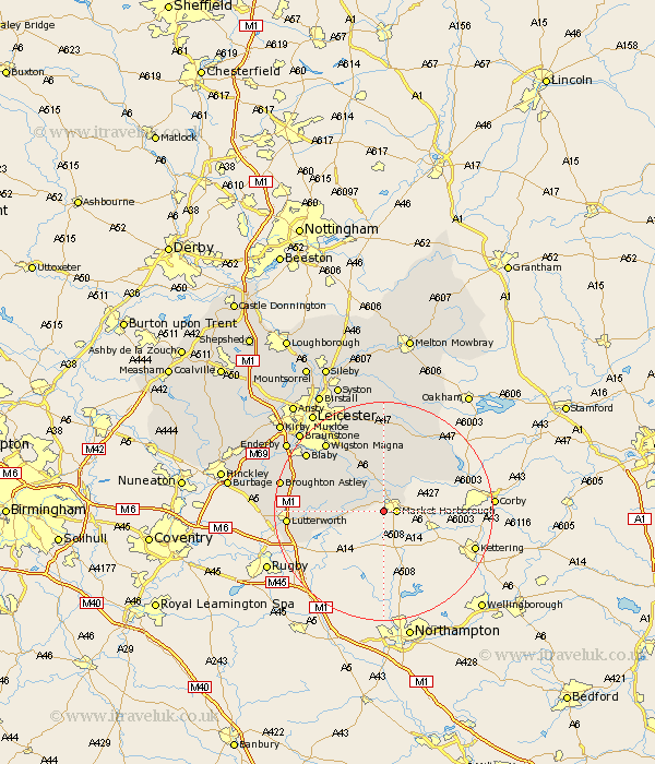
Leicestershire Map Showing Location of Lubenham
Population: 1285
District: Harborough
Easting: 471323 Northing: 285977
Latitude: 52.47 Longitude: -0.95
 = Lubenham
District: Harborough
Easting: 471323 Northing: 285977
Latitude: 52.47 Longitude: -0.95
= Lubenham
This Lubenham map below is supplied by Google. Use the tools in the top left corner to zoom into street level or zoom out for a road map, you may also need to zoom in to see Lubenham on the map. Click and drag the map to move around. If the map fails to load try and refresh your browser or zoom in or out (+ or -).
Update - it seems Google no longer allow people to use their maps for free! This Lubenham map sometimes loads and sometimes gives a error. I am working on a solution.
Closest 30 Towns or Cities to Lubenham (Population over 500)
Market Harborough 2.26km Great Bowden 3.86km Bowden 3.86km Husbands Bosworth 7.03km Kibworth 7.74km Kibworth Harcourt 7.74km Walton 11.29km Walton-in-Knaptoft 11.29km Hallaton 12.17km Great Glen 12.47km Gilmarton 13.55km Gilmorton 13.55km Great Easton 14.64km Billesdon 14.87km Countesthorpe 15.48km Oadby 15.79km Glen Parka 15.84km Glen Parva 15.84km Wigston Magna 16.46km Wigston 16.46km Houghton-on-the-Hill 16.83km Houghton 16.83km Houghton on the Hill 16.83km Lutterworth 17.04km Blaby 17.52km Cosby 18.31km Broughton Astley 18.89km Whetstone 19.31km Narborough 20.24km Ullesthorpe 20.32km