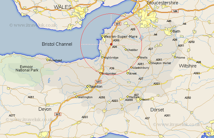
Somerset Map Showing Location of Loxton
Population: 222
Easting: 337262 Northing: 156093
Latitude: 51.3 Longitude: -2.9
 = Loxton
Easting: 337262 Northing: 156093
Latitude: 51.3 Longitude: -2.9
= Loxton
This Loxton map below is supplied by Google. Use the tools in the top left corner to zoom into street level or zoom out for a road map, you may also need to zoom in to see Loxton on the map. Click and drag the map to move around. If the map fails to load try and refresh your browser or zoom in or out (+ or -).
Update - it seems Google no longer allow people to use their maps for free! This Loxton map sometimes loads and sometimes gives a error. I am working on a solution.
Closest 30 Towns or Cities to Loxton (Population over 500)
Banwell 2.97km Hutton 2.97km Bleadon 3.48km Locking 3.88km Lympsham 3.94km Sandford 5.93km Weare 5.93km Shipham 6.95km Axbridge 7.2km Brent Knoll 7.24km Churchill 7.87km Weston-Super-Mare 8.03km Brean 8.32km Berrow 8.92km Mark 9.26km Wick Saint Lawrence 9.33km Wick St. Lawrence 9.33km Wick St Lawrence 9.33km Cheddar 9.98km Congresbury 10.16km Burnham on Sea 10.17km Burnham 10.17km Burnham-on-Sea 10.17km Priddy 10.81km Yatton 10.92km Wedmore 10.93km Highbridge 10.93km Wrington 11.87km Huntspill 12.54km Rodney Stoke 12.86km